-
 ×
- Home
- Art Prints ▸
- Artists ▸
- Categories ▸
- Art Styles ▸
- Picture Frame ▸
- All decorative frames
- Baroque decorative frames
- Simple decorative frames
- Rustic decorative frames
- Floating frames
- Golden decorative frames
- Silver decorative frames
- White decorative frames
- Black decorative frames
- Wood-look decorative frames
- Shabby chic decorative frames
- Thin decorative frames
- Thick decorative frames
- Print Media ▸
- All print media
- Canvas Leonardo (satin)
- Canvas Salvador (matte)
- Canvas Raphael (matte)
- FineArt Photo Matte
- FineArt Photo Satin
- FineArt Photo Baryte
- FineArt Photo Glossy
- Watercolor Paper Munch
- Watercolor Paper Renoir
- Watercolor Paper Turner
- Watercolor Paper Dürer
- Natural Line Hemp
- Natural Line Rice
- Kozo White, 110g
- Kozo Natural, 110g
- Inbe White, 125g
- Unryu, 55g
- Bamboo, 110g
- Premio Unryu, 165g
- Murakumo Natural, 42g
- Bizan Natural, 300g
- Bizan White, 300g
- Aluminum composite 3mm
- Acrylic glass 5mm
- Order Sample Set
- Which print medium is right for you?
Canvas
Photo Paper
Watercolor Board
Natural Line
Japanese Paper
Special Media
More information
- Help & Service ▸
- Contact us
- Sell your art
- Frequently Asked Questions
- Job Openings
- Complaint
- Order Samples
- Order Vouchers
- Shipping costs
- Production time
- Sustainability
- Image research
- Special requests
- Who are we?
- Pricing policy
- Company policy
- Quality promise
- Awards
- Stretcher frame
- Mats
- Decorative frames
- Glazing
- Fillets
- Mounting systems
- Print media
- Care tips
- Legal Notice
- Terms & Conditions
- Privacy Policy
- Right of Cancellation
Info & Service
More information
Good to know
Legal information
- Shop ▸
- Contact




 View in 3D / AR
 Add to favorites
 Change wall color
 View picture in a room


.jpg "Bavarian Monarchy")

.jpg "Duchy of Württemberg in Total")
.jpg "Topographic Map of One Hundred Square Miles around Berlin")
_Belgium_(Region_Fland_-_(MeisterDrucke-1527536).jpg "France (Region : Nord-Pas-de-Calais, Upper Normandy, Picardy) Belgium (Region: Flanders)")
_and_Flanders_(Belgium_Netherlands)_(Engraving_-_(MeisterDrucke-1025370).jpg "Map of Artois (France) and Flanders (Belgium, Netherlands) (engraving)")
.jpg "Untitled map of Brabant: Belgium and Netherlands")

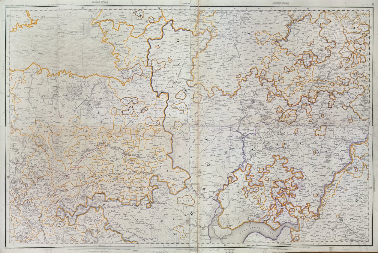
.jpg "Map of Cutch and Kathiawar, published under the direction of Colonel G.C. de Pree, S.C., Surveyor General of India, 1885")
_(etching_-_(MeisterDrucke-982833).jpg "Map of the Duchy of Brabant (Belgium, Netherlands)")

_(Engraving_-_(MeisterDrucke-1005276).jpg "Map of Bavaria (Germany)")


_(Engraving_-_(MeisterDrucke-1025385).jpg "Map of the Province of Lorraine (France) (engraving)")


_Germany_(State_Rh_-_(MeisterDrucke-1532630).jpg "France (Region: Champagne-Ardenne, Lorraine, Alsace, Franche-Comté), Germany (State: Rhineland-Palatinate, Saarland)")

 - (MeisterDrucke-40906).jpg "Map of Afghanistan, 1898")
_(Engraving_-_(MeisterDrucke-982995).jpg "Map of Luxembourg and Diocese of Treves (Germany)")
.jpg "Geological Map of Bohemia, Surrounding of Teplice to Liberec")
.jpg "The Theatre of War in Italy")
 og viser Sr-Norge - (MeisterDrucke-543148).jpg "The Map is Published in Oslo (1845) and Shows Southern Norway")
.jpg "Stanfords Map of India, 1872")
.jpg "Church and Cottage with Lighted Windows")


.jpg "Portrait of King Richard III")
 c1740-50 - (MeisterDrucke-77045).jpg "Kidbrooke Park, Kent, formerly attributed to George Lambert (1700-65) c.1740-50")


.jpg "Detailed Map of Gallipoli Peninsula and the Dardanelles, Turkey, 1915, from")


.jpg "Map of the world with possessions of the British Empire coloured red, c. 1870")


 - (MeisterDrucke-86697).jpg "Map of Brazil")
.jpg "Map of Fredericksburg, December 1862")
 - (MeisterDrucke-64121).jpg "Map of the St. Lawrence Estuary")

.jpg "Map of India to New Guinea, c. 1570-1603")

.jpg "Totius Neobelgii Nova et Accuratissima Tabula, 1674")
.jpg "Map showing the world trade shipping routes, cartography by Pierre Duval (1619-83), published in 1686, Paris")
.jpg "Map showing the localities of the Indian tribes of the US in 1833, illustration from")
.jpg "Map of Lisbon and Cascais, from")

.jpg "Celestial Map of the Planets")
.jpg "Map of Algeria, 1876")
.jpg "Froggett")


.jpg "Emilie Flöge, 1902")
.jpg "The Garden of Earthly Delights")


.jpg "The Resurrection")


.jpg "Portrait of a Woman, 1910")
.jpg "Lake Thun with the Niesen")

.jpg "Rosa Damascena, Rosier de Cels, from Les Roses, 1817-24")
.jpg "Salvator Mundi")

 +43 4257 29415
 support@meisterdrucke.com
 Mo-Do: 7:00 - 16:00 | Fr: 7:00 - 13:00




