support@meisterdrucke.com  ·  0043 4257 29415

Deutsch English Italiano Español Français Nederlands Português Svenska Polski Dansk
Search by artist, work title or style – e.g. Monet, Starry Night, Impressionism, Hokusai wave, nude. Describe the scene – e.g. green meadow, abstract with lots of red, dark oil painting, standing nude next to a tree.

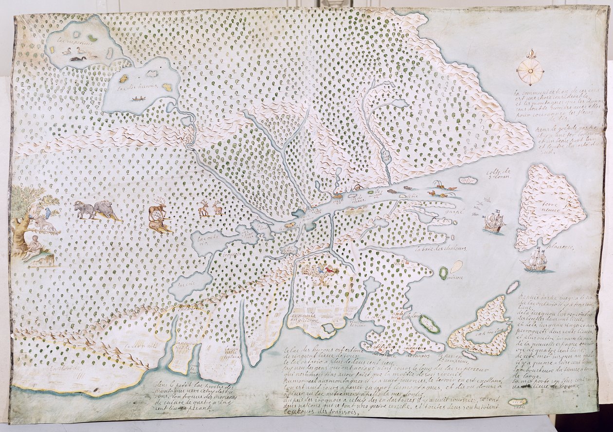
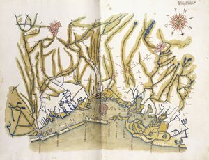
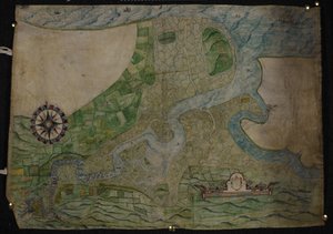
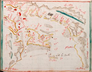
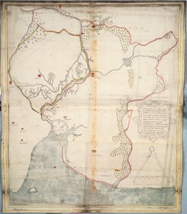
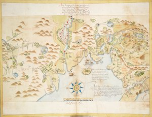
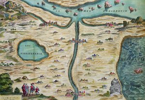
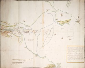
Map of the St. Lawrence Estuary by French School

Map of the St. Lawrence Estuary

(Map of the St. Lawrence Estuary (pen und ink and wc on paper))


French School

€ 129.66
Tax-free
   Configure art print
18th century  ·  pen and ink and watercolour on paper  ·  Image ID: 64121

Cultural Circles  ·  Cartography

Map of the St. Lawrence Estuary by French School. Available as an art print on canvas, photo paper, watercolor board, natural paper, or Japanese paper.
canada · canadian · river · saint laurent · Service Historique de la Marine, Vincennes, France / Bridgeman Images
AR/3D   View in 3D / AR zu Favoriten hinzufügen   Add to favorites    Change wall color    View picture in a room
0 Reviews

Configure art print

Picture Frame

Medium & Stretcher

Glass & Passepartout

Miscellaneous & Extras

 Save / compare configuration
Preview Icon

Summary

Gemälde
Veredelung
Keilrahmen
Museumslizenz

€ 129.66
(inkl. 20% MwSt)
   Add to cart

Bildschärfe: PERFEKT

If you'd like us to adjust the brightness, colors, or crop the image, we're happy to do this for you at no extra cost. Just get in touch!

Similar artworks selected for you

The Harbour of Dublin in Ireland Ms. 986, Vol. 1, Plan of the Position of the Army under the command of Lieut. Genl. Burgoyne near Still Water, in which it encamped on 20th September 1777 Plan of Orwell Haven by Richard Lee Part of a panoramic map of the coast from Land Chart of Kinsale Coloured map of Venice and its region Map of La Coruna Map depicting the destruction of the Spanish colony of St. Augustine in Florida on 7th July 1586 by the English fleet commanded by Sir Francis Drake (1540-96), 1589 Plan of the Battle of Navarino, 21 October 1827 City of Goa in India, Engraving by Theodor de Bry from Travel account of the voyage of the sailor Jan Huyghen van Linschoten to Portuguese East India 1579-1592 Namur, from Atlas de Louis XIV. Plans des places etrangeres, 1665 The Map of New England from William Hubbard Portfolio of Drawings by Mutio Oddi of Urbino and Others Chart of the course of the River Medway from Rochester to The Nore Map for the Battle of Austerlitz, December 2nd, 1805 Guayaquil Speculum Romanae Magnificentiae: Ancient Rome, and its Hills, from the West, 1582 The Battle off Gravelines, 8 August 1588 Map of the Skøyen Farm, Østre Aker, with the Farm Peterhof, Russia: Elevation of the English Palace and Plan of the Park Map of Isle of Sheppey attributed to cartographer Robert Lythe The Port of Mahon and surrounding area, from Cala Murte to Cala Rafalet French Guiana, South America The description of the castle and lands of Insbeguin lying within 3 miles of Yohall on the west side thereof Map of Sofala, Mozambique, from A Battle at Algiers Donegal and Sligo Bays, Ireland, c.1600 Old Fort Gaut, Calcutta
Show more similar artworks

More art prints by French School

Manuscript 69 f. 48r, Birth of Jesus, from the Book of Hours of the "Master of Jacques de Besançon" Genealogical tree of the Rougon-Macquart family The Carte du Tendre, a map of an imaginary country, from volume II of Beef: diagram depicting the different cuts of meat Poster advertising the Baron Hotel in Aleppo, c. 1920 The Shield of Achilles, after the description in Homer Reproduction of Map of Routes of St. James of Compostela, originally engraved by D. Serveaux 1648 Poster advertising Pur Champagne, from Damery, Épernay "The Man with Six Heads", caricature of Charles Maurice de Talleyrand-Périgord (1754-1838), 1815 Lyrics to «La Marseillaise». Image of Épinal Cuts of Pork, illustration from a French Domestic Science Manual by H. de Puytorac, published by Éditions Fernand Nathan, late 19th century Map of Paris depicting the city Veal: diagram depicting the different cuts of meat Equestrian statue of Charlemagne (742-814) Frédéric Chopin (1810-49) engraved from a daguerreotype
Show more works by French School

More motifs from the category Cartography

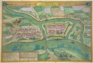
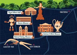
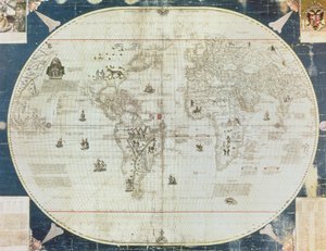
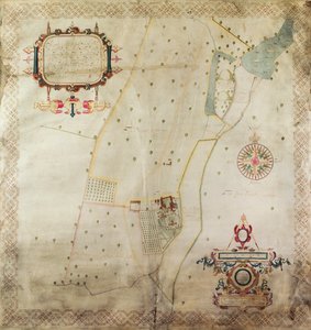
Map of Szolnok, from ’Civitates Orbis Terrarum’ by Georg Braun (1541-1622) and Frans Hogenberg (1535-90), 1617 Zodiac Calendar, from an Atlas of the World in 33 Maps, Venice, 1st September 1553 Map of South Kensington Map of Antwerp, 1598 Ms. Ital. 550.0.3.15, fol. 4v-5r. Map of the Eastern Mediterranean Coast and Islands, from the „Carte Geografiche“ Rc C 2487 Map of the World, designed by Sebastian Cabot (c. 1476-1557), 1544 Map of the Manor of Shifnal, Shropshire, 1635 Map of Britain in 640, from “The Northumbrian Kingdom” in “A Short History of the English People” by J. R. Green, published 1893 Map of animals in North America Improved Map of India, published in London 1820 Map of Calais, Malta, Rhodes, and Famagusta, from Map of the world, Map of Persia, from the Theatrum Orbis Terrarum, published by Abraham Ortelius (1527-98), Antwerp, c. 1590 Map of Cumberland A Map of the Countries Thirty Degrees round the North Pole, from
View More from "Cartography"

A selection of our top sellers

Mountain farmers mowing The Heart of the Andes Head of a child in hands Naked Young Man Sitting by the Sea, 1836 Wanderer above the Sea of Fog Pine Forest, left screen Carnation, Lily, Lily, Rose Woman Artist - Marcella Composition VIII. Painting by Wassily Kandinsky (or Wassily Kandinski or Kandinskij, 1866-1944). 1915 Sun. 201x140 cm New York, Guggenheim Museum Wheatfield under Thunderclouds, 1890 The Great Day of His Wrath, engraved by Charles Mottram (1807-76), published by Thomas McLean, London in 1857 The Quiet River, 1913 Psyche entering Cupid Cosmic Cliffs in the Carina Nebula (NIRCam Image) Flowering Front Garden
Show more artworks


What our customers think about us


Frequently Asked Questions about Meisterdrucke


Personalizing your art print at Meisterdrucke is simple and intuitive: Choose a frame, set the image size, pick a printing medium, and add suitable glazing or a stretcher frame. We also offer additional customization options like mats, fillets, and spacers. If you have any questions, our customer service team is ready to help you create your perfect artwork.

At Meisterdrucke, you can visualize your configured artwork directly in your own room. Simply upload a photo of your space and see how the artwork looks in it. If you're visiting us on a mobile device — phone or tablet — our augmented reality feature brings the picture to life and projects it right into your room. A unique experience that combines art and technology.

Choosing the right medium is often a matter of personal taste. To give you a better idea, we've provided some images for each medium. We also offer a sample set of all paper variants, so you can decide not just visually but by touch as well. You can order the sample set free of charge — only shipping costs apply.

Don't worry! At Meisterdrucke, we don't just process orders mechanically. Every order is manually reviewed by our team. If we spot any inconsistencies or issues with your configuration, we'll get in touch with you right away. And of course, our friendly and patient support team is always here to help you with your configuration. We'll work with you by phone or email to adjust your image so the final result is exactly what you had in mind.


Still have questions?

Are you interested in an art print from our manufactory but still unsure? Do you need advice on choosing the medium or help with the order?

Our experts are happy to assist you.

+43 4257 29415
support@meisterdrucke.com

Mo-Do: 7:00 - 16:00 | Fr: 7:00 - 13:00

Still have questions?

Are you interested in an art print from our manufactory but still unsure? Do you need advice on choosing the medium or help with the order?

Our experts are happy to assist you.

+43 4257 29415
support@meisterdrucke.com
Mo-Do: 7:00 - 16:00 | Fr: 7:00 - 13:00


Meisterdrucke

   Kärntner Strasse 46
        9586 Finkenstein am Faaker See
        Austria
        +43 4257 29415
        support@meisterdrucke.com
Other languages

                   
Erfahrungen & Bewertungen zu Meisterdrucke
Post.at DHL Express Quehenberger Cargoboard
Kaiser Franz Joseph

Meisterdrucke
Kärntner Strasse 46
9586 Finkenstein am Faaker See · Austria
+43 4257 29415 · support@meisterdrucke.com
Post.at DHL Express Quehenberger Cargoboard


(c) 2026 meisterdrucke.us