support@meisterdrucke.com  ·  0043 4257 29415

Deutsch English Italiano Español Français Nederlands Português Svenska Polski Dansk
Search by artist, work title or style – e.g. Monet, Starry Night, Impressionism, Hokusai wave, nude. Describe the scene – e.g. green meadow, abstract with lots of red, dark oil painting, standing nude next to a tree.

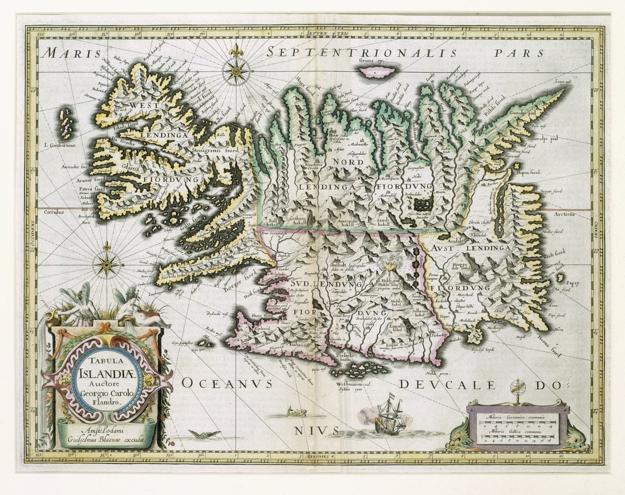
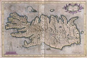
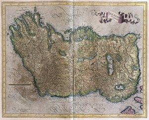
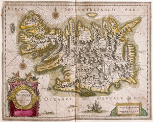
Map of Iceland by Willem Janszoon Blaeu

Map of Iceland

(Map of Iceland (colour engraving))


Willem Janszoon Blaeu

€ 121.68
Tax-free
   Configure art print
Undated  ·  colour engraving  ·  Image ID: 79146

Nonclassified artists  ·  Cartography

Map of Iceland by Willem Janszoon Blaeu. Available as an art print on canvas, photo paper, watercolor board, natural paper, or Japanese paper.
cartography · bleau · cartographic · mapping · geography · island · ship · ocean · cartouche · Private Collection / Bridgeman Images
Other color versions of this image  
AR/3D   View in 3D / AR zu Favoriten hinzufügen   Add to favorites    Change wall color    View picture in a room
0 Reviews

Configure art print

Picture Frame

Medium & Stretcher

Glass & Passepartout

Miscellaneous & Extras

 Save / compare configuration
Preview Icon

Summary

Gemälde
Veredelung
Keilrahmen
Museumslizenz

€ 121.68
(inkl. 20% MwSt)
   Add to cart

Bildschärfe: PERFEKT

If you'd like us to adjust the brightness, colors, or crop the image, we're happy to do this for you at no extra cost. Just get in touch!

Similar artworks selected for you

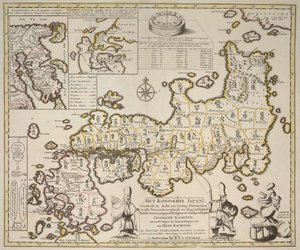
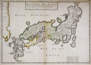
Island Angliae, Scotiae, et Hiberniae, sive Britannicar: Insularum Descriptio (England, Scotland and Ireland, Otherwise Known as the British Isles) Zealand Island, Denmark British Islands: England, Scotland, and Ireland Map of the Island of Zealand (Netherlands) Rügen From: Theatrum Orbis Terrarum The Kingdom of Scotland, Engraved by Jodocus Hondius from Map of the Indies, from Theatrum Orbis Terrarum Islandia, Per Gerardum Mercatorem cum privilegio, c.1595 A Map of Great Britain Most accurate description of the islands of Orkney and Shetland Isle of Rugen, Germany (engraving) Iceland South Scotland, Great Britain Island, Ireland and large part of Great Britain (except south) Great Britain and Ireland from Theatrum Orbis Terrarum by Willem Bleau, Amsterdam Ireland and Great Britain, in Bretagne, in Hiberniae, Britannicae Insulae New Description Map of Iceland and Northern British Isles, in the North Sea Ireland Scotland, Great Britain New and Accurate Description of the Island of Corsica Map of Scotland, Miliaria Scotia England England, Scotland and Ireland A Map of the Kingdom of Japan Divided into Sixty-Eight Provinces, Separate Maps of Kamschatka and Niphon Geographic map of Japan made by Father Philippe Briet
Show more similar artworks

More art prints by Willem Janszoon Blaeu

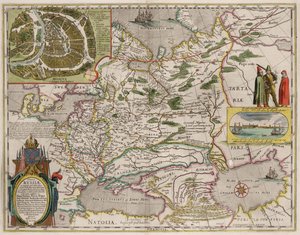
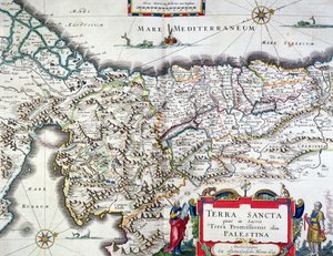
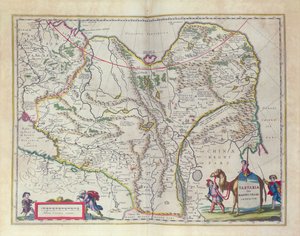
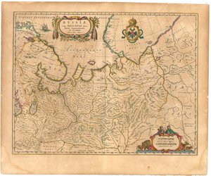
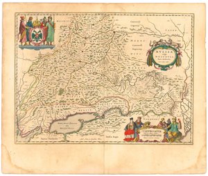
World Map, from Asia noviter delineata, 1617 India Quae Orientalis Dicitur, Et Insulae Adiacentes, map showing South-East Asia and the East Indies, published in Amsterdam, c.1635 A 17th-century map by Willem Janszoon Blaeu, showing modern-day Indonesia and parts of Southeast Asia Map of Russia and Moscow. From: Theatrum Orbis Terrarum..., 1645 Map of the Holy Land, published in Amsterdam, 1629 Map of Siberia and China from Le Théâtre du Monde or Nouvel Atlas, 1645 Rügen From: Theatrum Orbis Terrarum Map of Map of the Moluccan Islands, engraved by Jodocus Hondius, 1630 Map of Iceland Map of Russia From: Theatrum Orbis Terrarum Map of Russia From: Theatrum Orbis Terrarum Frontispiece from the Sailing Manual Marca d
Show more works by Willem Janszoon Blaeu

More motifs from the category Cartography

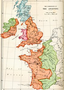
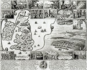
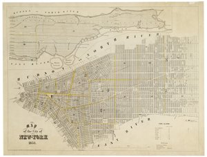
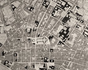
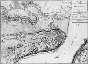
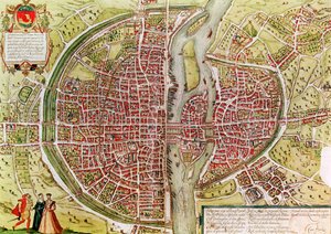
Map of the dominions of the Angevins, c. 1170, from Map of South America, published in 1700, Paris Map of Civil War England and a View of Prague, 1632 Map of the City of New York, 1854 Map of Florence, detail, 1843 and 1866 engraving detail of 100310 Map of North America, showing the boundaries of the United States, Canada and the Spanish Possessions, according to the proposals of the Court of France in 1782, from “The Narrative and Critical Histo” Map of Genoa and Florence, from Map of Alexander the Great Londinium Antiqua, map of London, published by William Darton, 1563 Map of the city and environs of Quebec with its siege and blockade by the Americans, illustration from the Map of the World using the Mercator Projection, from Map of Paris from „Civitates orbis terrarum“ by Georg Braun (1541-1622) and Franz Hogenberg (1540-92), French, 1572-1617 Plan of the enclosed gardens and Château de Gaillon, from Map of Prussia and Poland, published by William Blackwood and Sons, Edinburgh and London, 1848 Map of the island of Santo Domingo
View More from "Cartography"

A selection of our top sellers

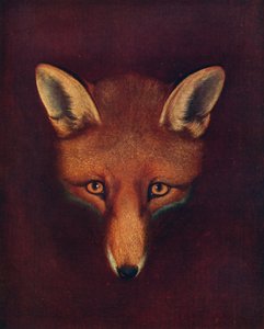
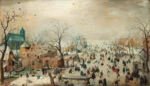
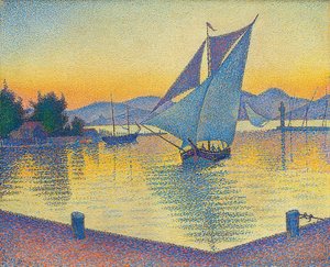
Renard the Fox, c. 1800, 1922 Ghost of a Genius Winter Landscape with Ice Skaters, circa 1608 Griffin Facing the Throne, Throne Room, Knossos, Crete 1550-1450 BC The Harbour at Sunset, Opus 236 (Saint-Tropez), 1892 Free Curve to the Point - Accompanying Sound of Geometric Curves, 1925 The Waterlilies - The Clouds (right side), 1914-18 Ideas for a Geography of Plants Together with a Physical Portrait of the Tropical Lands Reclining Female Nude on a White Pillow Falling Leaves The School Walk, 1872 Monk by the Sea Bubble I (Girl with a boxer), 2020 The Waterlily Pond with the Japanese Bridge Beef: diagram depicting the different cuts of meat
Show more artworks


What our customers think about us


Frequently Asked Questions about Meisterdrucke


Personalizing your art print at Meisterdrucke is simple and intuitive: Choose a frame, set the image size, pick a printing medium, and add suitable glazing or a stretcher frame. We also offer additional customization options like mats, fillets, and spacers. If you have any questions, our customer service team is ready to help you create your perfect artwork.

At Meisterdrucke, you can visualize your configured artwork directly in your own room. Simply upload a photo of your space and see how the artwork looks in it. If you're visiting us on a mobile device — phone or tablet — our augmented reality feature brings the picture to life and projects it right into your room. A unique experience that combines art and technology.

Choosing the right medium is often a matter of personal taste. To give you a better idea, we've provided some images for each medium. We also offer a sample set of all paper variants, so you can decide not just visually but by touch as well. You can order the sample set free of charge — only shipping costs apply.

Don't worry! At Meisterdrucke, we don't just process orders mechanically. Every order is manually reviewed by our team. If we spot any inconsistencies or issues with your configuration, we'll get in touch with you right away. And of course, our friendly and patient support team is always here to help you with your configuration. We'll work with you by phone or email to adjust your image so the final result is exactly what you had in mind.


Still have questions?

Are you interested in an art print from our manufactory but still unsure? Do you need advice on choosing the medium or help with the order?

Our experts are happy to assist you.

+43 4257 29415
support@meisterdrucke.com

Mo-Do: 7:00 - 16:00 | Fr: 7:00 - 13:00

Still have questions?

Are you interested in an art print from our manufactory but still unsure? Do you need advice on choosing the medium or help with the order?

Our experts are happy to assist you.

+43 4257 29415
support@meisterdrucke.com
Mo-Do: 7:00 - 16:00 | Fr: 7:00 - 13:00


Meisterdrucke

   Kärntner Strasse 46
        9586 Finkenstein am Faaker See
        Austria
        +43 4257 29415
        support@meisterdrucke.com
Other languages

                   
Erfahrungen & Bewertungen zu Meisterdrucke
Post.at DHL Express Quehenberger Cargoboard
Kaiser Franz Joseph

Meisterdrucke
Kärntner Strasse 46
9586 Finkenstein am Faaker See · Austria
+43 4257 29415 · support@meisterdrucke.com
Post.at DHL Express Quehenberger Cargoboard


(c) 2026 meisterdrucke.us