support@meisterdrucke.com  ·  0043 4257 29415

Deutsch English Italiano Español Français Nederlands Português Svenska Polski Dansk
Search by artist, work title or style – e.g. Monet, Starry Night, Impressionism, Hokusai wave, nude. Describe the scene – e.g. green meadow, abstract with lots of red, dark oil painting, standing nude next to a tree.

World Map, from

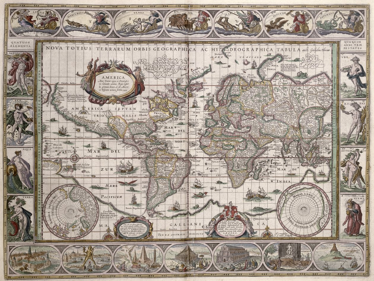
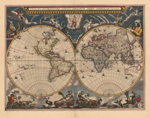
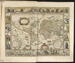
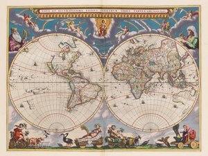
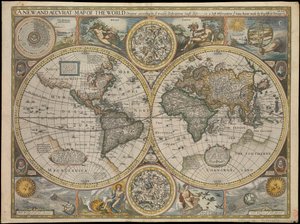
World Map, from 'Le Theatre du Monde' or 'Nouvel Atlas', 1645

(World Map, from 'Le Theatre du Monde' or 'Nouvel Atlas', 1645 )


Willem Janszoon Blaeu

€ 124.41
Tax-free
   Configure art print
1645  ·  coloured engraving  ·  Image ID: 173833

Nonclassified artists  ·  Cartography

World Map, from 'Le Theatre du Monde' or 'Nouvel Atlas', 1645 by Willem Janszoon Blaeu. Available as an art print on canvas, photo paper, watercolor board, natural paper, or Japanese paper.
carte du monde · planisphere · planets · planet · four seasons · season · wonder · four elements · element · border · geography · cartography · planet · america · africa · asia · india · europe · fire · earth · water · mercury · venus · moon · mars · jupiter · saturn · personification · winter · summer · spring · autumn · hanging gardens of babylon · colossus of rhodes · pyramids · pharos · great lighthouse · mausoleum of halicarnassus · temple of diana · zeus at olympia · artemis · phare · alexandrie · colosse · pyramide · pyramides · jardins · babylone · diane · olympie · ephese · Mausolee · Halicarnasse · Bibliotheque des Arts Decoratifs, Paris, France / Bridgeman Images
Other color versions of this image  
AR/3D   View in 3D / AR zu Favoriten hinzufügen   Add to favorites    Change wall color    View picture in a room
Note: Only reviews with comments are displayed. Reviews can be submitted directly after purchase in your customer account.

Configure art print

Picture Frame

Medium & Stretcher

Glass & Passepartout

Miscellaneous & Extras

 Save / compare configuration
Preview Icon

Summary

Gemälde
Veredelung
Keilrahmen
Museumslizenz

€ 124.41
(inkl. 20% MwSt)
   Add to cart

Bildschärfe: PERFEKT

If you'd like us to adjust the brightness, colors, or crop the image, we're happy to do this for you at no extra cost. Just get in touch!

Similar artworks selected for you

A New and Accurate Map of the World New geographical and hydrographical map of the whole world New Geographic and Hydrographic Map of the Entire World A New Land and Water Map of the Entire Earth, 1630 New Geographical and Hydrographical Map of the Entire World World Map. Nova Totius Terrarum Orbis World Map, Amsterdam 1633 Double Hemisphere Map of the World, 1662 General Map of the Earth 1594 Double Hemisphere World Map Plate depicting the map of Southern America Orbis Terrarum Typus... (Double Hemispheric World Map) A new and accurate map of the world, 1676 A world map Relief Shown Pictorially Orbis Terrarum Nova et Accuratissima Tabula, ca 1690 1596 Map of the World - Orbis Terrae Compendiosa Descriptio Map of the Two Hemispheres Terrarum Orbis Tabula, after G. a Schagen. Published c. 1689 Itinerarium. World map with costumes, natives, ships, plants and animals New Board for All the World Le Grand Atlas, ou Cosmographie Blauiane, en laquelle est exactement descritte le Terre, la Mer, et le Ciel, vol.I Composite Sheet with Engraving, Scale: circa 1:35,000,000 A New and Correct Map of the World from an Atlas of the Sea, 1707 (hand coloured print)
Show more similar artworks

More art prints by Willem Janszoon Blaeu

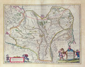
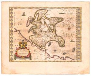
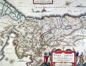
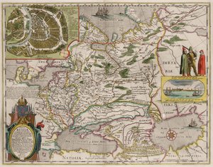
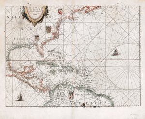
World Map, from Asia noviter delineata Map of Siberia and China from Le Théâtre du Monde or Nouvel Atlas, 1645 Rügen From: Theatrum Orbis Terrarum India Quae Orientalis Dicitur, Et Insulae Adiacentes, map showing South-East Asia and the East Indies, published in Amsterdam, c.1635 Map of Map of the Holy Land, published in Amsterdam, 1629 Map of the Moluccan Islands, engraved by Jodocus Hondius, 1630 A 17th Century Map by Willem Janszoon Blaeu, Showing Modern-Day Indonesia and Parts of South East Asia Map of Iceland Map of Russia and Moscow From: Theatrum Orbis Terrarum..., 1645 Marca d Map of the Lower Elbe, 1:160 000, Copper Engraving, 1628 Frontispiece from the Sailing Manual American Islands in the North Ocean with Adjacent Lands
Show more works by Willem Janszoon Blaeu

More motifs from the category Cartography

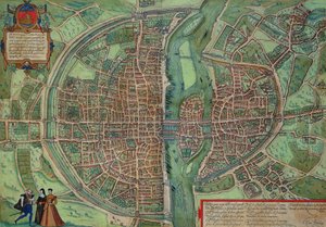
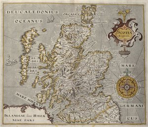
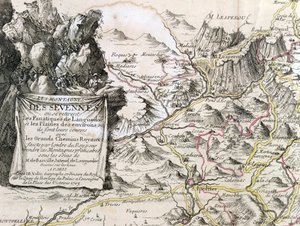
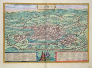
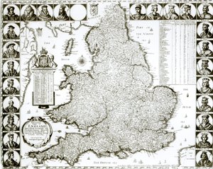
Map of the Siege of York in 1781, from Map of Paris, from “Civitates Orbis Terrarum” by Georg Braun (1541-1622) and Frans Hogenberg (1535-90), c.1572 Nova Scotia and Newfoundland, from a Series of World Maps published by John Tallis und Co., New York and London, 1850s Map of India to New Guinea, c.1570-1603 India and Malaysia, from an Atlas of the World in 33 Maps, Venice, 1st September 1553 (detail) Map of the Kingdom of Scotland, 17th century Scotia Regnum Cartouche from a Map of the Cevennes Region, 1703 John Pinkerton Map of the Pacific, China and America, 1589, by Abrahamus Ortelius (1527-98) Map of Spain and Portugal, 1731 Map of Germany, Germania Antiqua, from Map of Rome, from Map of England and Wales, 1644 A Map inspired by Candide by Francois Voltaire for a competition organised by the Ecole Nationale des Ponts et Chaussees in Paris Map of Berlin, 1737
View More from "Cartography"

A selection of our top sellers

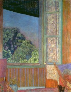
The Open Window Venice, The Pink Cloud, 1909 The Nightmare, 1781 Garden in Giverny Pink Peach Trees (Souvenir de Mauve) School of Athens, from the Stanza della Segnatura, 1510-11 Woman at Dawn The Garden in Asgardstrand Judith with the Head of Holofernes The Effects of Good and Bad Government in the City and the Countryside. Detail of the Effects of Good Government in the City and the Countryside. The White Woman and the Black Woman. 1913 View of a Harbour Beethoven Frieze The Lady of Shalott The Symphony of the Cat, drawing by Moritz von Schwind of 1868. Staatliche Kunsthalle Karlsruhe.
Show more artworks


What our customers think about us


Frequently Asked Questions about Meisterdrucke


Personalizing your art print at Meisterdrucke is simple and intuitive: Choose a frame, set the image size, pick a printing medium, and add suitable glazing or a stretcher frame. We also offer additional customization options like mats, fillets, and spacers. If you have any questions, our customer service team is ready to help you create your perfect artwork.

At Meisterdrucke, you can visualize your configured artwork directly in your own room. Simply upload a photo of your space and see how the artwork looks in it. If you're visiting us on a mobile device — phone or tablet — our augmented reality feature brings the picture to life and projects it right into your room. A unique experience that combines art and technology.

Choosing the right medium is often a matter of personal taste. To give you a better idea, we've provided some images for each medium. We also offer a sample set of all paper variants, so you can decide not just visually but by touch as well. You can order the sample set free of charge — only shipping costs apply.

Don't worry! At Meisterdrucke, we don't just process orders mechanically. Every order is manually reviewed by our team. If we spot any inconsistencies or issues with your configuration, we'll get in touch with you right away. And of course, our friendly and patient support team is always here to help you with your configuration. We'll work with you by phone or email to adjust your image so the final result is exactly what you had in mind.


Still have questions?

Are you interested in an art print from our manufactory but still unsure? Do you need advice on choosing the medium or help with the order?

Our experts are happy to assist you.

+43 4257 29415
support@meisterdrucke.com

Mo-Do: 7:00 - 16:00 | Fr: 7:00 - 13:00

Still have questions?

Are you interested in an art print from our manufactory but still unsure? Do you need advice on choosing the medium or help with the order?

Our experts are happy to assist you.

+43 4257 29415
support@meisterdrucke.com
Mo-Do: 7:00 - 16:00 | Fr: 7:00 - 13:00


Meisterdrucke

   Kärntner Strasse 46
        9586 Finkenstein am Faaker See
        Austria
        +43 4257 29415
        support@meisterdrucke.com
Other languages

                   
Erfahrungen & Bewertungen zu Meisterdrucke
Post.at DHL Express Quehenberger Cargoboard
Kaiser Franz Joseph

Meisterdrucke
Kärntner Strasse 46
9586 Finkenstein am Faaker See · Austria
+43 4257 29415 · support@meisterdrucke.com
Post.at DHL Express Quehenberger Cargoboard


(c) 2026 meisterdrucke.us