support@meisterdrucke.com  ·  0043 4257 29415

Deutsch English Italiano Español Français Nederlands Português Svenska Polski Dansk
Search by artist, work title or style – e.g. Monet, Starry Night, Impressionism, Hokusai wave, nude. Describe the scene – e.g. green meadow, abstract with lots of red, dark oil painting, standing nude next to a tree.

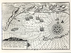
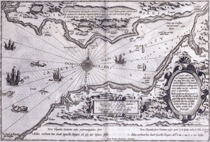
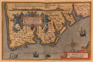
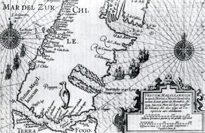
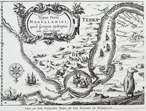
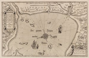
One of the earliest maps of the Straits of Magellan, from “The Romance of the River Plate”, Vol. I, by W. H. Koebel, 1914 by Portuguese School

One of the earliest maps of the Straits of Magellan, from “The Romance of the River Plate”, Vol. I, by W. H. Koebel, 1914

(One of the earliest maps of the Straits of Magellan, from 'The Romance of the River Plate', Vol. I, by W. H. Koebel, 1914 )


Portuguese School

€ 125.55
Tax-free
   Configure art print
1914  ·  engraving  ·  Image ID: 87506

Cultural Circles  ·  Cartography

One of the earliest maps of the Straits of Magellan, from “The Romance of the River Plate”, Vol. I, by W. H. Koebel, 1914 by Portuguese School. Available as an art print on canvas, photo paper, watercolor board, natural paper, or Japanese paper.
portuguese explorer · ships · rio de la plata · strait · Private Collection / Bridgeman Images
AR/3D   View in 3D / AR zu Favoriten hinzufügen   Add to favorites    Change wall color    View picture in a room
0 Reviews

Configure art print

Picture Frame

Medium & Stretcher

Glass & Passepartout

Miscellaneous & Extras

 Save / compare configuration
Preview Icon

Summary

Gemälde
Veredelung
Keilrahmen
Museumslizenz

€ 125.55
(inkl. 20% MwSt)
   Add to cart

Bildschärfe: PERFEKT

If you'd like us to adjust the brightness, colors, or crop the image, we're happy to do this for you at no extra cost. Just get in touch!

Similar artworks selected for you

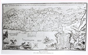
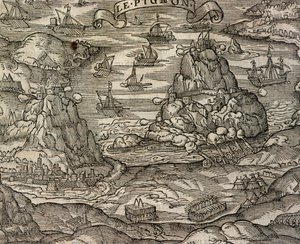
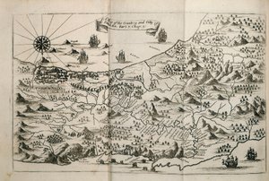
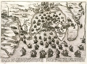
Nautical Chart of the Gulf of Riga, Cartography The Haven of Brindisi, illustration to Tunis - Atlas of Abraham Ortelius, Antwerp Cartographic representation of “Charybdis” and “Scylla” in the Strait of Messina, Sicily. Engraving from “Mundus Subterraneus” by Athanasius Kircher (1601-1680), Jesuit, Orientalist and scholar, 1682 Map of Atlantis, from The Arrival of Vice-Admiral Wybrandt Van Warwijck Map of Chile Compiled by Jesuits A New and Accurate Plan of the City and Harbour of Cartagena, Showing the Descent of That Place by the British Fleet and Land Forces, Under the Command of the Admirals Vernon and Ogle and General Wentworth in March & April 1741 Nice, Villefranche and Monaco in the 17th Century Bristol Channel Map of the Island of Tinos with the Venetian Fleet, 17th Century Bali Island (Indonesia) Allegorical Map of the Stages of Love Map of the Tribe of Asher, 1590 Map of Brazil Map of Italy - in Oversize Atlas Titled Map of Trinity Island in the Antilles from Universal Cosmography The English and Dutch Force Facing the Spanish Fleet in the Port of Cadiz in 1596 Map of the New Island of Utopia from a 1518 edition of Utopia by Sir Thomas More (1478-1535), first published in 1516. Woodcut by Ambrosius Holbein (c. 1494-c. 1519) showing the island with the protagonists Map of the Strait of Magellan, plate from Oliver van Noort A map of the Cape of Good Hope, South Africa, 1719 1931 Map of the South England Coast Between the Isle of Wight and Dover Map of Palestine, from a Passover Haggadah, printed in 1695 Map of Colchis (1714) - it shows the oldest known depiction of the wall Naval Battle near Le Pignon Island, engraving from Cosmographie Universelle A Map of the Country and City of Panama. Part. 3 : Chap : 5. (engraving) Plan of the port of Cadiz in 1596 at the time of the attack by Sir Walter Raleigh
Show more similar artworks

More art prints by Portuguese School

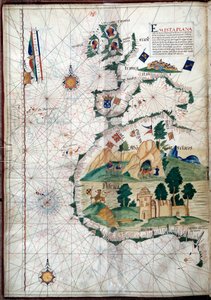
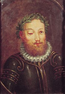
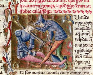
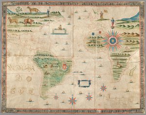
Portrait of John II of Portugal (1455-95) Portolan of the West Coast of Africa with the Canary Islands. Geographic map by the Portuguese Luis Lazare (16th century) Portrait of Luís Vaz de Camões (c. 1524-80), 16th-17th century Pedro Álvares Cabral (c.1467-c.1520) Arriving in Brazil in 1500, from Battle between Martin Gomez and El Cid (c.1043-99) from Chronicles of Spain, 1344 Vasco da Gama (c. 1469-1525) from “Lendas da India” by Gaspar Correia, 1520 Map of Western Europe, Africa and America, with drawings of mountains, animals, etc. Joseph da Costa e Miranda Measuring instrument: 16th-century Portuguese nautical astrolabe. Oxford University Vasco da Gama Portrait presumed to be of Vasco da Gama (1469-1524), c.1524 Brazil from the One of the earliest maps of the Straits of Magellan, from “The Romance of the River Plate”, Vol. I, by W. H. Koebel, 1914 Panoramic view of Lisbon before the earthquake of 1755 - Azulejos from the beginning of the 18th century, panel from the former palace of the Counts of Tentugal, Lisbon (Great Lisbon panorama before the earthquake of 1755, early 18th-century faience Geographic Map of the Azores, 1587 Francisco de Almeida (c. 1450-1510), Portuguese soldier and first viceroy of the Indies
Show more works by Portuguese School

More motifs from the category Cartography

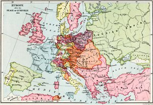
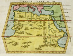
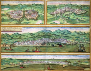
New and most accurate map of all New Netherland, 1674 Map of Paris from „Civitates orbis terrarum“ by Georg Braun (1541-1622) and Franz Hogenberg (1540-92), French, 1572-1617 Map of Europe after the Peace of Lunéville, 1801, from Map of Berlin, 1737 Map Showing Tycho Brahe Map of the Siege of St. Jean d Map of North Africa, c. 1580s Map of Parma, Siena, Palermo and Drepanum, from ’Civitates Orbis Terrarum’ by Georg Braun (1541-1622) and Frans Hogenberg (1535-90), c.1572 Detail of Copy of a Catalan Map of Europe and North Africa, presented to Charles V of France in 1381 Map of Christian Constellations, from The Celestial Atlas, or The Harmony of the Universe (Atlas coelestis seu harmonia macrocosmica), published by Joannes Janssonius, Amsterdam, 1660-61 (hand-coloured engraving) An imaginary map of Czartorysk Map of the Strait of Magellan, plate from Oliver van Noort An inciting map of the Turbid Amazon, illustration from Map of Turkey, Arabia and Persia, after Guillaume de L Map of Northumberland, from
View More from "Cartography"

A selection of our top sellers

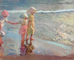
Elizabeth of Bavaria (1837-98), Empress of Austria, wife of Emperor Franz Joseph of Austria (1830-1916) The three sisters on the beach, 1908 Rose: Bengale the Hymenes, from Self-Portrait (Melancholy of the Mountains). 1929 Theater of Marcellus Study of a lion The Shield of Achilles, after the description in Homer Winter, c. 1910 The Disciples Peter and John Running to the Sepulchre on the Morning of the Resurrection, c. 1898 Cosy Corner Impression, Sunrise, 1872 A Corner of the Garden at Montgeron, 1876-7 Flowers in a Crystal Vase, c.1882 A Kingfisher and a Lotus, c.1910 Sunset over Yalta
Show more artworks


What our customers think about us


Frequently Asked Questions about Meisterdrucke


Personalizing your art print at Meisterdrucke is simple and intuitive: Choose a frame, set the image size, pick a printing medium, and add suitable glazing or a stretcher frame. We also offer additional customization options like mats, fillets, and spacers. If you have any questions, our customer service team is ready to help you create your perfect artwork.

At Meisterdrucke, you can visualize your configured artwork directly in your own room. Simply upload a photo of your space and see how the artwork looks in it. If you're visiting us on a mobile device — phone or tablet — our augmented reality feature brings the picture to life and projects it right into your room. A unique experience that combines art and technology.

Choosing the right medium is often a matter of personal taste. To give you a better idea, we've provided some images for each medium. We also offer a sample set of all paper variants, so you can decide not just visually but by touch as well. You can order the sample set free of charge — only shipping costs apply.

Don't worry! At Meisterdrucke, we don't just process orders mechanically. Every order is manually reviewed by our team. If we spot any inconsistencies or issues with your configuration, we'll get in touch with you right away. And of course, our friendly and patient support team is always here to help you with your configuration. We'll work with you by phone or email to adjust your image so the final result is exactly what you had in mind.


Still have questions?

Are you interested in an art print from our manufactory but still unsure? Do you need advice on choosing the medium or help with the order?

Our experts are happy to assist you.

+43 4257 29415
support@meisterdrucke.com

Mo-Do: 7:00 - 16:00 | Fr: 7:00 - 13:00

Still have questions?

Are you interested in an art print from our manufactory but still unsure? Do you need advice on choosing the medium or help with the order?

Our experts are happy to assist you.

+43 4257 29415
support@meisterdrucke.com
Mo-Do: 7:00 - 16:00 | Fr: 7:00 - 13:00


Meisterdrucke

   Kärntner Strasse 46
        9586 Finkenstein am Faaker See
        Austria
        +43 4257 29415
        support@meisterdrucke.com
Other languages

                   
Erfahrungen & Bewertungen zu Meisterdrucke
Post.at DHL Express Quehenberger Cargoboard
Kaiser Franz Joseph

Meisterdrucke
Kärntner Strasse 46
9586 Finkenstein am Faaker See · Austria
+43 4257 29415 · support@meisterdrucke.com
Post.at DHL Express Quehenberger Cargoboard


(c) 2026 meisterdrucke.us