-
 ×
- Home
- Art Prints ▸
- Artists ▸
- Categories ▸
- Art Styles ▸
- Picture Frame ▸
- All decorative frames
- Baroque decorative frames
- Simple decorative frames
- Rustic decorative frames
- Floating frames
- Golden decorative frames
- Silver decorative frames
- White decorative frames
- Black decorative frames
- Wood-look decorative frames
- Shabby chic decorative frames
- Thin decorative frames
- Thick decorative frames
- Print Media ▸
- All print media
- Canvas Leonardo (satin)
- Canvas Salvador (matte)
- Canvas Raphael (matte)
- FineArt Photo Matte
- FineArt Photo Satin
- FineArt Photo Baryte
- FineArt Photo Glossy
- Watercolor Paper Munch
- Watercolor Paper Renoir
- Watercolor Paper Turner
- Watercolor Paper Dürer
- Natural Line Hemp
- Natural Line Rice
- Kozo White, 110g
- Kozo Natural, 110g
- Inbe White, 125g
- Unryu, 55g
- Bamboo, 110g
- Premio Unryu, 165g
- Murakumo Natural, 42g
- Bizan Natural, 300g
- Bizan White, 300g
- Aluminum composite 3mm
- Acrylic glass 5mm
- Order Sample Set
- Which print medium is right for you?
Canvas
Photo Paper
Watercolor Board
Natural Line
Japanese Paper
Special Media
More information
- Help & Service ▸
- Contact us
- Sell your art
- Frequently Asked Questions
- Job Openings
- Complaint
- Order Samples
- Order Vouchers
- Shipping costs
- Production time
- Sustainability
- Image research
- Special requests
- Who are we?
- Pricing policy
- Company policy
- Quality promise
- Awards
- Stretcher frame
- Mats
- Decorative frames
- Glazing
- Fillets
- Mounting systems
- Print media
- Care tips
- Legal Notice
- Terms & Conditions
- Privacy Policy
- Right of Cancellation
Info & Service
More information
Good to know
Legal information
- Shop ▸
- Contact





.jpg)
 View in 3D / AR
 Add to favorites
 Change wall color
 View picture in a room
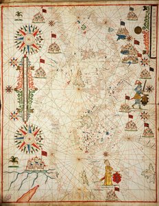
 - (MeisterDrucke-107630).jpg "Egypt and the Red Sea, from a nautical atlas of the Mediterranean and Middle East")
.jpg "Fol. 47v Map of Peru, from")
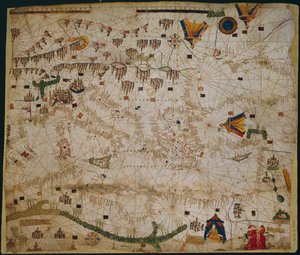
 (see also 330937-330938) - (MeisterDrucke-82399).jpg "The Mediterranean Basin, from a nautical atlas, 1646")
.jpg "Chart of Arabia and the Eastern Mediterranean, Part of a Portolan Atlas, c.1650")
.jpg "Marine chart of the Mediterranean Sea and the Black Sea")
 (see also 330914) - (MeisterDrucke-115397).jpg "The Eastern Mediterranean, from a nautical atlas, 1520")
.jpg "Nautical chart of the Mediterranean Sea and the Black Sea")
 - (MeisterDrucke-104412).jpg "Map of the Moluccas, 1522")
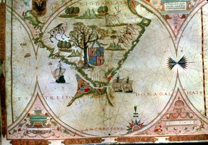

 (detail from 330916) - (MeisterDrucke-131759).jpg "North Africa, from a nautical atlas, 1520 (detail)")
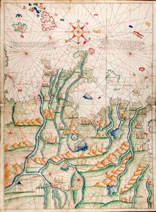
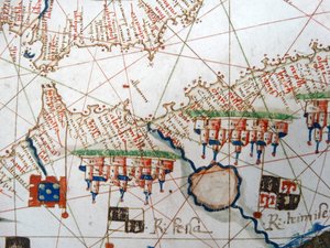
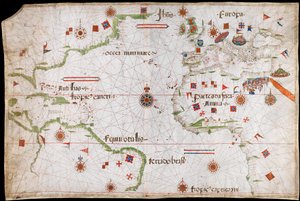
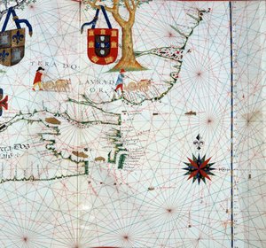
.jpg "Black Sea and eastern Mediterranean")
 (detail from 330913) - (MeisterDrucke-123431).jpg "The Red Sea (detail)")
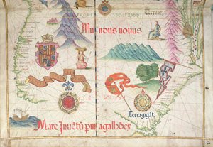
.jpg "Nautical Chart of Mediterranean Area, Including Europe with British Isles and Part of Scandinavia")
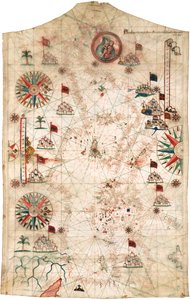
.jpg "Black Sea and eastern Mediterranean")
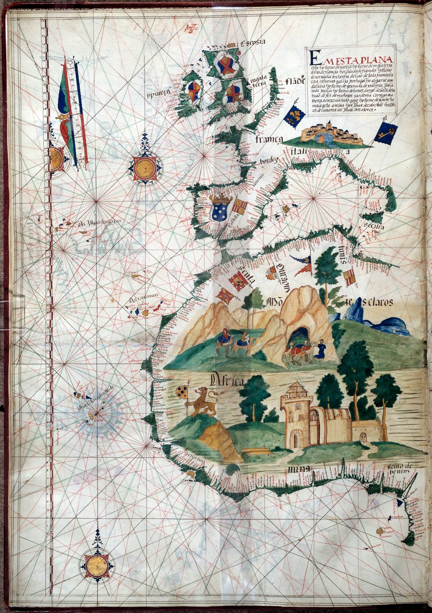
 (see also 330920-330921) - (MeisterDrucke-83175).jpg "The Atlantic coasts of Europe and the Western Mediterranean, from a nautical atlas")
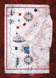
 (detail from 330919) - (MeisterDrucke-120357).jpg "The Cities of Marseille and Genoa with their ports, from a nautical atlas, 1651 (detail)")
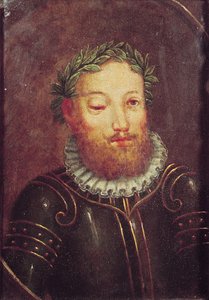
 (panel) - (MeisterDrucke-62799).jpg "Portrait of John II of Portugal (1455-95)")
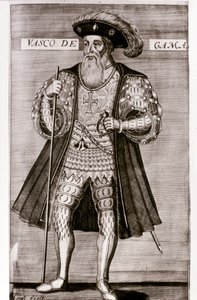
.jpg "Vasco da Gama")
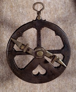
.jpg "Geographic Map of the Azores, 1587")

.jpg "Ferdinand Magellan")
 Portuguese soldier and first viceroy of the Indies - (MeisterDrucke-42041).jpg "Francisco de Almeida (c. 1450-1510), Portuguese soldier and first viceroy of the Indies")

 The Fortunate King of Portugal from Lettura Nova by Alem Duoro 1513 - (MeisterDrucke-63889).jpg "Manuel I (1469-1521) “The Fortunate”, King of Portugal, from “Lettura Nova” by Alem Duoro, 1513")
.jpg "Map of the Atlantic Ocean, c. 1550")
.jpg "The Roses of Heliogabalus")
.jpg "The Munnekeholm with the Aduardergasthuis in the foreground and the West-Indisch Huis in the background")
.jpg "The Course of Empire. Desolation")

.jpg "Haystacks")
.jpg "Landscape, The Parc Monceau")
.jpg "Bell Rock Lighthouse")
.jpg "Beef: diagram depicting the different cuts of meat")

 +43 4257 29415
 support@meisterdrucke.com
 Mo-Do: 7:00 - 16:00 | Fr: 7:00 - 13:00






