support@meisterdrucke.com  ·  0043 4257 29415

Deutsch English Italiano Español Français Nederlands Português Svenska Polski Dansk
Search by artist, work title or style – e.g. Monet, Starry Night, Impressionism, Hokusai wave, nude. Describe the scene – e.g. green meadow, abstract with lots of red, dark oil painting, standing nude next to a tree.

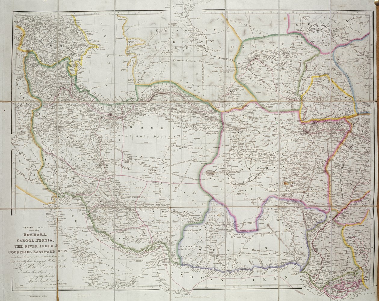
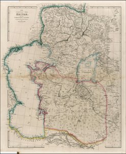
Map of Central Asia, 1834 by John Arrowsmith

Map of Central Asia, 1834

(Map of Central Asia, 1834 )


John Arrowsmith

€ 117.57
Tax-free
   Configure art print
1834  ·  colour lithograph  ·  Image ID: 97018

Nonclassified artists  ·  Cartography

Map of Central Asia, 1834 by John Arrowsmith. Available as an art print on canvas, photo paper, watercolor board, natural paper, or Japanese paper.
mapping · geography · cartography · uzbekistan · empire · bukhara · river indus · pakistan · afghanistan · iran · turkmenistan · tajikstan · silk road · silk route · middle asia · inner asia · kazakhstan · kyrgyzstan · boundaries · asian · border · frontier · Private Collection / Bridgeman Images
Other color versions of this image  
AR/3D   View in 3D / AR zu Favoriten hinzufügen   Add to favorites    Change wall color    View picture in a room
0 Reviews

Configure art print

Picture Frame

Medium & Stretcher

Glass & Passepartout

Miscellaneous & Extras

 Save / compare configuration
Preview Icon

Summary

Gemälde
Veredelung
Keilrahmen
Museumslizenz

€ 117.57
(inkl. 20% MwSt)
   Add to cart

Bildschärfe: PERFEKT

If you'd like us to adjust the brightness, colors, or crop the image, we're happy to do this for you at no extra cost. Just get in touch!

Similar artworks selected for you

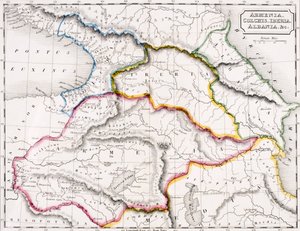
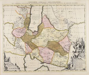
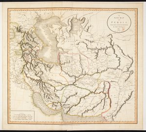
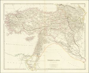
West Asia States of the Grand Seigneur in Asia - Empire of Persia, Land of the Uzbeks, Arabia and Egypt The Mediterranean Sea and North Africa. Scale 1 Persia Argow with Southern Part of Zurichgow Illustration from the book Atlas of All Parts of the Earth by unknown author and published by Chr. Steen & Søn (Copenhagen, 1857) A New Map of Mexico and Adjacent Provinces Map of the Irtysh River, the Southern Part of the Siberian Governorate Map of Independent Tartary, comprising the land of the Kalmyks, that of the Uzbeks, and Turkestan Map of the Congo region, from an album belonging to Henry Morton Stanley 1842 Map of the Caspian Sea, Khivah and the Surrounding Country by John Arrowsmith Map of Armenia, Colchis, Iberia and Albania, from Map of the Persian Empire Based Mainly on the Geographical Writings of Arabs and Persians by Adriaan Reland A Map of Persia 1840 Map of Turkey in Asia Map of the Ottoman and Persian Empires (Cropped) Map of the Vendée depicting the area of the Vendée Revolt (1793-96) in March 1793, c. 1815 Persia, Afghanistan and Baluchistan in 1892 Map of Cutch and Kathiawar, published under the direction of Colonel G.C. de Pree, S.C., Surveyor General of India, 1885 Russia, from Europe, Describing All the Changes of Territory, Published 1816 Independent Tartary Taurica Chersonesus, Today Called Perekop and Gazar Gueldre hollandoise avec les pais, duchez et comtez voisins A Map of the United States of North America Map of Turkey, Arabia and Persia, after Guillaume de L Egypt and Abyssinia Turkey in Asia
Show more similar artworks

More art prints by John Arrowsmith

1842 Map of Central Asia Map of Central Asia, 1834 Map of Russia and Poland Enlarged plan of Erebus and Terror Bay – The winter quarters of Sir John Franklin Arrowsmith Black Sea Sebastopol from a Russian Survey of 1836 1842 Map of the Caspian Sea, Khivah and the Surrounding Country by John Arrowsmith 1840 Map of Turkey in Asia The Arctic Shores of America from Baffin Bay to Cape Bathurst Map of North Western Africa by John Arrowsmith 1840 Map of Turkey in Asia by John Arrowsmith Proposed Buildings for Prisoners under the System of Confinement and Discipline Entertained by Captain Machonochie, R.N. Map of Russia and Poland Range of Solitary Cells Erected at the Female Factory at Parramatta, New South Wales Map of Oman
Show more works by John Arrowsmith

More motifs from the category Cartography

Map of the Old and New Worlds, c. 1500 Map of Antwerp, from Historiated initial Map of Northumberland, from Map Depicting the Ptolemaic and Tycho Brahe Systems of Planetary Orbit, 1701 Fol. 39v Map of the Magellan Straits, from “Cosmographie Universelle”, 1555 Map of the Ottoman Empire, from the ‘Atlas Novus’ Map of Europe, from a facsimile of the ‘Miller Atlas’ by Pedro and Jorge Reinel, and Lopo Homem, made in 1519 Fol. 47v Map of Peru, from Map of British America Map of Venice, by Sebastian Münster (1488-1552), published in Basel, c. 1560 Iceland, from an Atlas of the World in 33 maps, Venice, 1st September 1553 (detail from 330951) Indian Campaign of 1832: Map of the Country Map of the Russian Empire in the sixteenth century, copy of an original of 1571 Map of Luneburg, from
View More from "Cartography"

A selection of our top sellers

Young Hare Salvator Mundi On Board a Sailing Ship Winter Landscape, 1835-8 Madonna of the Yarnwinder Lake Thun with Symmetrical Reflection Cypress Road under the Starry Sky The Greifswald Market The Fox, 1913 Lisbeth The Bookworm Eiger, Mönch and Jungfrau in the Morning Sun The Water-Lily Pond The Scream The Ascent into the Heavenly Paradise
Show more artworks


What our customers think about us


Frequently Asked Questions about Meisterdrucke


Personalizing your art print at Meisterdrucke is simple and intuitive: Choose a frame, set the image size, pick a printing medium, and add suitable glazing or a stretcher frame. We also offer additional customization options like mats, fillets, and spacers. If you have any questions, our customer service team is ready to help you create your perfect artwork.

At Meisterdrucke, you can visualize your configured artwork directly in your own room. Simply upload a photo of your space and see how the artwork looks in it. If you're visiting us on a mobile device — phone or tablet — our augmented reality feature brings the picture to life and projects it right into your room. A unique experience that combines art and technology.

Choosing the right medium is often a matter of personal taste. To give you a better idea, we've provided some images for each medium. We also offer a sample set of all paper variants, so you can decide not just visually but by touch as well. You can order the sample set free of charge — only shipping costs apply.

Don't worry! At Meisterdrucke, we don't just process orders mechanically. Every order is manually reviewed by our team. If we spot any inconsistencies or issues with your configuration, we'll get in touch with you right away. And of course, our friendly and patient support team is always here to help you with your configuration. We'll work with you by phone or email to adjust your image so the final result is exactly what you had in mind.


Still have questions?

Are you interested in an art print from our manufactory but still unsure? Do you need advice on choosing the medium or help with the order?

Our experts are happy to assist you.

+43 4257 29415
support@meisterdrucke.com

Mo-Do: 7:00 - 16:00 | Fr: 7:00 - 13:00

Still have questions?

Are you interested in an art print from our manufactory but still unsure? Do you need advice on choosing the medium or help with the order?

Our experts are happy to assist you.

+43 4257 29415
support@meisterdrucke.com
Mo-Do: 7:00 - 16:00 | Fr: 7:00 - 13:00


Meisterdrucke

   Kärntner Strasse 46
        9586 Finkenstein am Faaker See
        Austria
        +43 4257 29415
        support@meisterdrucke.com
Other languages

                   
Erfahrungen & Bewertungen zu Meisterdrucke
Post.at DHL Express Quehenberger Cargoboard
Kaiser Franz Joseph

Meisterdrucke
Kärntner Strasse 46
9586 Finkenstein am Faaker See · Austria
+43 4257 29415 · support@meisterdrucke.com
Post.at DHL Express Quehenberger Cargoboard


(c) 2026 meisterdrucke.us