support@meisterdrucke.com  ·  0043 4257 29415

Deutsch English Italiano Español Français Nederlands Português Svenska Polski Dansk
Search by artist, work title or style – e.g. Monet, Starry Night, Impressionism, Hokusai wave, nude. Describe the scene – e.g. green meadow, abstract with lots of red, dark oil painting, standing nude next to a tree.

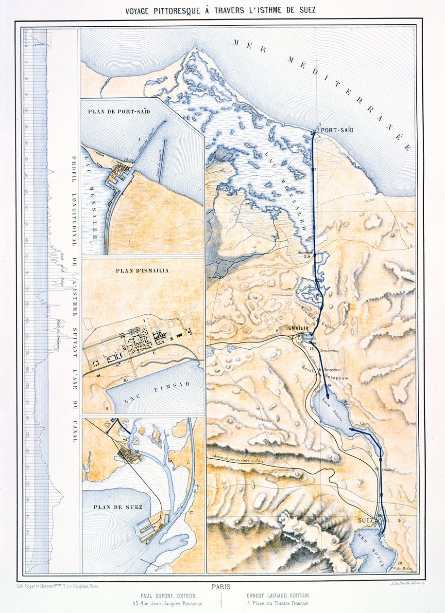
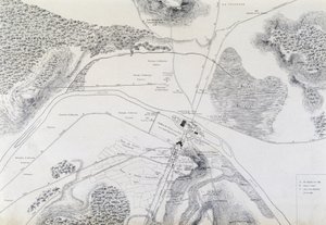
Map of the Suez Canal, c. 1870 by A. Le Bealle

Map of the Suez Canal, c. 1870

(Map of the Suez Canal, c.1870 )


A. Le Bealle

€ 129.33
Tax-free
   Configure art print
Undated  ·  engraving  ·  Image ID: 363531

Nonclassified artists  ·  Cartography

Map of the Suez Canal, c. 1870 by A. Le Bealle. Available as an art print on canvas, photo paper, watercolor board, natural paper, or Japanese paper.
plan · waterway · communications · communication · red sea · cartography · mapping · engineering · mediterranean · Private Collection / Bridgeman Images
Other color versions of this image  
AR/3D   View in 3D / AR zu Favoriten hinzufügen   Add to favorites    Change wall color    View picture in a room
0 Reviews

Configure art print

Picture Frame

Medium & Stretcher

Glass & Passepartout

Miscellaneous & Extras

 Save / compare configuration
Preview Icon

Summary

Gemälde
Veredelung
Keilrahmen
Museumslizenz

€ 129.33
(inkl. 20% MwSt)
   Add to cart

Bildschärfe: PERFEKT

If you'd like us to adjust the brightness, colors, or crop the image, we're happy to do this for you at no extra cost. Just get in touch!

Similar artworks selected for you

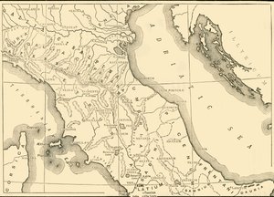
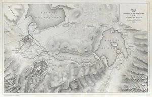
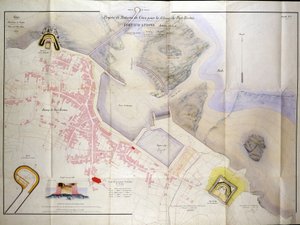
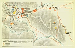
Map showing the Siege of Sevastopol, Crimean War, 1854-1855, 1893. Preparatory Map of the Suez Canal, 1855 Map from the National Library Geological Map of the Kutch Region of India, Geological Survey of India 1868-69 The Gallipoli Campaign, First World War, 1915 Map of Sari Bair, Gallipoli Peninsula, First World War, 1915, c1920 England, East coast, entrance to the River Humber surveyed by Captain G.E. Richards HM surveying ship Allied Positions on the Gallipoli Peninsula in Turkey, First World War, July 1915, c1920 Plan of the Siege of Sebastopol, 1883 Geological Map of London and the Surrounding Area Cold Harbor (June 1-3, 1864) Map of Asia Minor, Expedition of Cyrus the Younger, and Retreat of the Ten Thousand Plan of Ladysmith and Chronicle of Events, 1900 Map of the Environs of Sevastopol Map of Northern and Central Italy, 1890 Map of the Operations of the American Army in the Valley of Mexico in August and September 1847 during the Mexican-American War Reconnaissance of King Plan for the Construction of the Coast Batteries for the Defence of Breton Harbour in 1848 Plan of the Siege of Sebastopol 1854-55, engraved by Robert Walker, pub. William Mackenzie, c.1860 Plan of the Battle of Sekigahara, October 21st 1600, 1903 The Rock of Gibraltar Geological Map of the Cutch Desert, 1870 Vicksburg, Mississippi, and Its Defences Reconnaissance of King Map of the New Croton Aqueduct, Old Aqueduct and Bronx River Pipeline also the Watersheds of the Croton, Bronx Map of the city of Lutetia, Lutetia Parisiorum, today Paris, and its surroundings, made in 1882 Orford Ness to Blakeney with the off lying shoals between Smiths Knoll and the other Dowsing Map of the Cape of Good Hope
Show more similar artworks

More motifs from the category Cartography

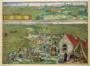
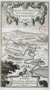
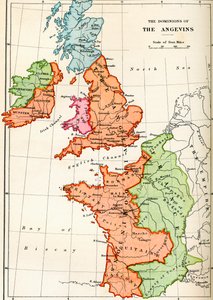
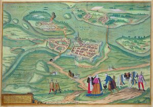
The Pacific Ocean, from an Atlas of the World in 33 Maps, Venice, 1st September 1553 Map showing the principal stars which are visible in Great Britain, Plate XXIX, from Map of the mouth of the Chicago River, Illinois with the plan of the proposed piers for improving the harbour, 1830 Map of the Manor of Shifnal, Shropshire, 1635 Map of the state of Texas, 1835 Map of Africa, from Atlas Minor, published in Augsburg, first half of eighteenth century Egypt and the Red Sea, detail from a Renaissance map of Europe, Jacopo Russo (after), 1528 Map of Nijmegen, from ’Civitates Orbis Terrarum’ by Georg Braun (1541-1622) and Frans Hogenburg (1535-90), c.1572 Map of the Amazon Basin, 1680 Map of Paris, 1620 (detail of 285193) Map of Cadiz, from Map from De La Situation du Paradis Terrestre, 1691 Map of the dominions of the Angevins, c. 1170, from Map of the Bay of Bengal, the China Sea and Java Map of Raab, from Civitates Orbis Terrarum by Georg Braun (1541-1622) and Frans Hogenberg (1535-90), 1597
View More from "Cartography"

A selection of our top sellers

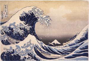
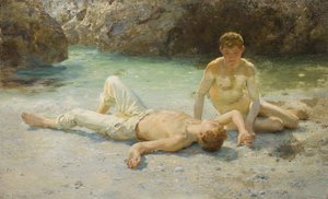
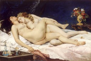
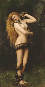
The Great Wave off Kanagawa Boy with a Crow Schlemmer, Oskar The Fox, 1913 The Holy Trinity, 1420s Still Life, 1872 Noonday Heat Strolling along the Seashore, 1909 The Sleepers The Equatorial Jungle, 1909 Lilith Effect of Spring, Giverny, 1890 Roman art: “Spring”, Flora picking flowers. Fresco from the Villa of Varano in Stabiae, near Pompeii. 15 BC-60 AD. National Archaeological Museum, Naples Summer Afternoon, 1865 View of L
Show more artworks


What our customers think about us


Frequently Asked Questions about Meisterdrucke


Personalizing your art print at Meisterdrucke is simple and intuitive: Choose a frame, set the image size, pick a printing medium, and add suitable glazing or a stretcher frame. We also offer additional customization options like mats, fillets, and spacers. If you have any questions, our customer service team is ready to help you create your perfect artwork.

At Meisterdrucke, you can visualize your configured artwork directly in your own room. Simply upload a photo of your space and see how the artwork looks in it. If you're visiting us on a mobile device — phone or tablet — our augmented reality feature brings the picture to life and projects it right into your room. A unique experience that combines art and technology.

Choosing the right medium is often a matter of personal taste. To give you a better idea, we've provided some images for each medium. We also offer a sample set of all paper variants, so you can decide not just visually but by touch as well. You can order the sample set free of charge — only shipping costs apply.

Don't worry! At Meisterdrucke, we don't just process orders mechanically. Every order is manually reviewed by our team. If we spot any inconsistencies or issues with your configuration, we'll get in touch with you right away. And of course, our friendly and patient support team is always here to help you with your configuration. We'll work with you by phone or email to adjust your image so the final result is exactly what you had in mind.


Still have questions?

Are you interested in an art print from our manufactory but still unsure? Do you need advice on choosing the medium or help with the order?

Our experts are happy to assist you.

+43 4257 29415
support@meisterdrucke.com

Mo-Do: 7:00 - 16:00 | Fr: 7:00 - 13:00

Still have questions?

Are you interested in an art print from our manufactory but still unsure? Do you need advice on choosing the medium or help with the order?

Our experts are happy to assist you.

+43 4257 29415
support@meisterdrucke.com
Mo-Do: 7:00 - 16:00 | Fr: 7:00 - 13:00


Meisterdrucke

   Kärntner Strasse 46
        9586 Finkenstein am Faaker See
        Austria
        +43 4257 29415
        support@meisterdrucke.com
Other languages

                   
Erfahrungen & Bewertungen zu Meisterdrucke
Post.at DHL Express Quehenberger Cargoboard
Kaiser Franz Joseph

Meisterdrucke
Kärntner Strasse 46
9586 Finkenstein am Faaker See · Austria
+43 4257 29415 · support@meisterdrucke.com
Post.at DHL Express Quehenberger Cargoboard


(c) 2026 meisterdrucke.us