support@meisterdrucke.com  ·  0043 4257 29415

Deutsch English Italiano Español Français Nederlands Português Svenska Polski Dansk
Search by artist, work title or style – e.g. Monet, Starry Night, Impressionism, Hokusai wave, nude. Describe the scene – e.g. green meadow, abstract with lots of red, dark oil painting, standing nude next to a tree.

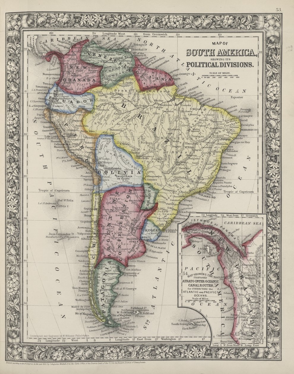
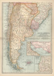
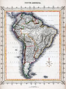
Map of South America showing its political divisions from Mitchell

Map of South America showing its political divisions from Mitchell's New General Atlas, 1863

(Map of South America showing its political divisions from Mitchell's new general atlas, 1863 )


Samuel Augustus Mitchell

€ 123.19
Tax-free
   Configure art print
1863  ·  coloured engraving  ·  Image ID: 127572

Nonclassified artists  ·  Cartography

Map of South America showing its political divisions from Mitchell's New General Atlas, 1863 by Samuel Augustus Mitchell. Available as an art print on canvas, photo paper, watercolor board, natural paper, or Japanese paper.
New York Public Library, USA / Bridgeman Images
AR/3D   View in 3D / AR zu Favoriten hinzufügen   Add to favorites    Change wall color    View picture in a room
Note: Only reviews with comments are displayed. Reviews can be submitted directly after purchase in your customer account.

Configure art print

Picture Frame

Medium & Stretcher

Glass & Passepartout

Miscellaneous & Extras

 Save / compare configuration
Preview Icon

Summary

Gemälde
Veredelung
Keilrahmen
Museumslizenz

€ 123.19
(inkl. 20% MwSt)
   Add to cart

Bildschärfe: PERFEKT

If you'd like us to adjust the brightness, colors, or crop the image, we're happy to do this for you at no extra cost. Just get in touch!

Similar artworks selected for you

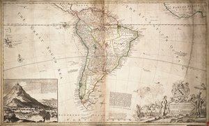
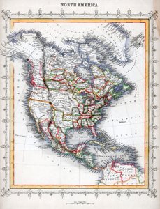
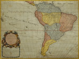
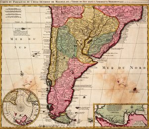
Map of South America South America, from Outlines of the Physical and Political Divisions of South America Map of South America Panama, Argentina, Bolivia, Brazil, Chile, Colombia, Ecuador, French Guiana, Guyana, Paraguay, Peru, Suriname, Uruguay, Venezuela South America: Drawn from Observations by Members of the Royal Academy of Sciences Map of South America Map of South America Map of Africa Map of Africa showing its most recent discoveries with the Island of St. Helena inset from Mitchell New Universal Geography Map of the Americas, published by Homann, 1746 Map of South America, published in 1700, Paris Map of the Western Hemisphere (from Sketchbook) Outlines of the Physical and Political Divisions of South America Map of the Americas Map of South America, c.1715 Map of North America South America, by Guillaume de l Chart of Paraguay, Chile, Straits of Magellan and Tierra del Fuego in South America A New Map of South America, drawn from the latest discoveries, page 75 from Descriptive Letters and Drawings, Volume 1 by James Forbes South America - by A Map of Paraguay, Chile and Magellan Land (Argentina) (etching) South America Divided into Its Principal States, Engraving by G. Zuliani Chile, from the South of Peru to Cape Horn, from Africa, from Modern Geography, c.1725 Map of Southern South America Chile (except north), Argentina, Paraguay, Uruguay, Southeast Brazil, Falkland Islands Africa - Corrected from the Observations of the Royal Society
Show more similar artworks

More motifs from the category Cartography

Map of the Mediterranean, 1625 Map of Northern Europe, from Map of Sas van Gent, Netherlands Map of the Battle of Wagram, published by William Blackwood and Sons, Edinburgh and London, 1848 Map of Berlin showing buildings of interest Map of New France dedicated to Colbert by Duchesneau, Intendant, 1681 Map of the Western Mediterranean Map of India, 1877 Map of Palermo, from Londinium Antiqua, map of London, published by William Darton, 1563 A Map of St. James Map of Berlin, printed by the Royal Lithographic Institute, Berlin, 1857 The Middle East, from an Atlas of the World in 33 Maps, Venice, 1st September 1553 Celestial Map of the Planets Map of Constantinople and Surrounding Areas, 1855-63
View More from "Cartography"

A selection of our top sellers

After Sunset Wheat Field with Cypresses Solitary Tree The sleeping Jesus, or Madonna holding the sleeping Child, accompanied by three angels, 1532 I Am Still Learning (Aun Aprendo) Benedictine Monk with Wine at Morning Drinks Woman Artist - Marcella Starry Night over the Rhône, 1888 The Fighting Temeraire, 1839 Yellow - Red - Blue Water Lilies ("Yellow Nirvana") The Fisherman A Kingfisher and a Lotus, c.1910 Pont Neuf, Paris The Deluge
Show more artworks


What our customers think about us


Frequently Asked Questions about Meisterdrucke


Personalizing your art print at Meisterdrucke is simple and intuitive: Choose a frame, set the image size, pick a printing medium, and add suitable glazing or a stretcher frame. We also offer additional customization options like mats, fillets, and spacers. If you have any questions, our customer service team is ready to help you create your perfect artwork.

At Meisterdrucke, you can visualize your configured artwork directly in your own room. Simply upload a photo of your space and see how the artwork looks in it. If you're visiting us on a mobile device — phone or tablet — our augmented reality feature brings the picture to life and projects it right into your room. A unique experience that combines art and technology.

Choosing the right medium is often a matter of personal taste. To give you a better idea, we've provided some images for each medium. We also offer a sample set of all paper variants, so you can decide not just visually but by touch as well. You can order the sample set free of charge — only shipping costs apply.

Don't worry! At Meisterdrucke, we don't just process orders mechanically. Every order is manually reviewed by our team. If we spot any inconsistencies or issues with your configuration, we'll get in touch with you right away. And of course, our friendly and patient support team is always here to help you with your configuration. We'll work with you by phone or email to adjust your image so the final result is exactly what you had in mind.


Still have questions?

Are you interested in an art print from our manufactory but still unsure? Do you need advice on choosing the medium or help with the order?

Our experts are happy to assist you.

+43 4257 29415
support@meisterdrucke.com

Mo-Do: 7:00 - 16:00 | Fr: 7:00 - 13:00

Still have questions?

Are you interested in an art print from our manufactory but still unsure? Do you need advice on choosing the medium or help with the order?

Our experts are happy to assist you.

+43 4257 29415
support@meisterdrucke.com
Mo-Do: 7:00 - 16:00 | Fr: 7:00 - 13:00


Meisterdrucke

   Kärntner Strasse 46
        9586 Finkenstein am Faaker See
        Austria
        +43 4257 29415
        support@meisterdrucke.com
Other languages

                   
Erfahrungen & Bewertungen zu Meisterdrucke
Post.at DHL Express Quehenberger Cargoboard
Kaiser Franz Joseph

Meisterdrucke
Kärntner Strasse 46
9586 Finkenstein am Faaker See · Austria
+43 4257 29415 · support@meisterdrucke.com
Post.at DHL Express Quehenberger Cargoboard


(c) 2026 meisterdrucke.us