-
 ×
×
- Home
- Art Prints ▸
- Artists ▸
- Categories ▸
- Art Styles ▸
-
Picture Frame ▸
- All decorative frames
- Baroque decorative frames
- Simple decorative frames
- Rustic decorative frames
- Floating frames
- Golden decorative frames
- Silver decorative frames
- White decorative frames
- Black decorative frames
- Wood-look decorative frames
- Shabby chic decorative frames
- Thin decorative frames
- Thick decorative frames
-
Print Media ▸
- All print media
- Canvas Leonardo (satin)
- Canvas Salvador (matte)
- Canvas Raphael (matte)
- FineArt Photo Matte
- FineArt Photo Satin
- FineArt Photo Baryte
- FineArt Photo Glossy
- Watercolor Paper Munch
- Watercolor Paper Renoir
- Watercolor Paper Turner
- Watercolor Paper Dürer
- Natural Line Hemp
- Natural Line Rice
- Kozo White, 110g
- Kozo Natural, 110g
- Inbe White, 125g
- Unryu, 55g
- Bamboo, 110g
- Premio Unryu, 165g
- Murakumo Natural, 42g
- Bizan Natural, 300g
- Bizan White, 300g
- Aluminum composite 3mm
- Acrylic glass 5mm
- Order Sample Set
- Which print medium is right for you?
Canvas
Photo Paper
Watercolor Board
Natural Line
Japanese Paper
Special Media
More information
-
Help & Service ▸
- Contact us
- Sell your art
- Frequently Asked Questions
- Job Openings
- Complaint
- Order Samples
- Order Vouchers
- Shipping costs
- Production time
- Sustainability
- Image research
- Special requests
- Who are we?
- Pricing policy
- Company policy
- Quality promise
- Stretcher frame
- Mats
- Decorative frames
- Glazing
- Fillets
- Mounting systems
- Print media
- Care tips
- Legal Notice
- Terms & Conditions
- Privacy Policy
- Right of Cancellation
Info & Service
More information
Good to know
Legal information
- Shop ▸
- Contact
")
 (for d - (MeisterDrucke-251976).jpg)
 - (MeisterDrucke-204319).jpg)
_-_(MeisterDrucke-278023).jpg "Plan of the City of London, published 1813")
.jpg "Plan of the City of London, published 1813")
.jpg "Survey of London")
.jpg "Map of Cairo, a Bird")
.jpg "Liège, with a view of the Palace")
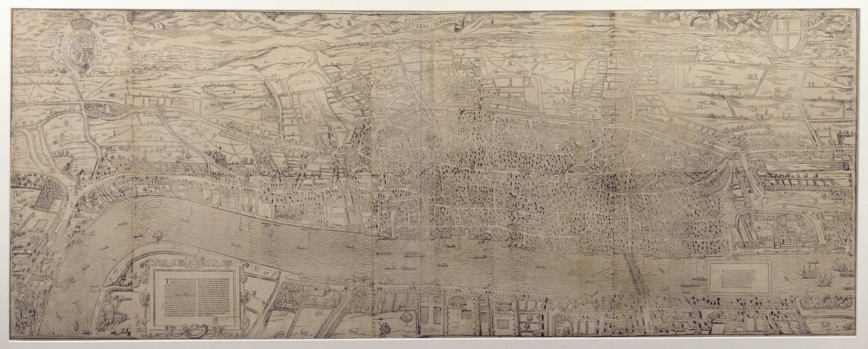
.jpg "Civitas Londinum")
.jpg "A View-Plan of Zurich")
.jpg "Liège, with a view of the Palace")
_-_Beleg_van_Keizersweerd_1702Plan_de_la_Ville_de_Keyserswert_(title_on_object)_-_(MeisterDrucke-1329041).jpg "Siege of Kaiserswerth, 1702 Plan of the City of Kaiserswerth")
.jpg "View of Venice (upper left block)")
![View of Venice [upper left block], 1500](/kunstwerke/300px/Jacopo_de_Barbari_-_View_of_Venice_upper_left_block_1500_-_(MeisterDrucke-1179640).jpg "View of Venice [upper left block], 1500")
.jpg "View of Venice")
.jpg "Liège, with a view of the Palace")
.jpg "Nuova pianta di Roma by Giambattista Nolli, 1748, known as La Pianta Grande di Roma")
.jpg "Map of London, showing the Bear Baiting Garden in Southwark")
.jpg "Vienna Wall Map, 1776 or 77")
.jpg "Map of Rome. Lower Right Part")
.jpg "Plan of the City of Rome. Part 10 with the Tiber and the Villa Farnesina")
.jpg "View of Venice")
.jpg "View of Venice")
.jpg "Map of Florence, 1584")
.jpg "Nuova pianta di Roma by Giambattista Nolli, 1748, known as La Pianta Grande di Roma")
.jpg "A map of the City and Suburbs of Cork")
.jpg "Agas")
.jpg "Nuova pianta di Roma by Giambattista Nolli, 1748, known as La Pianta Grande di Roma")
.jpg "The Siege of La Rochelle")
.jpg "Plan of the City of Rome. Part 3 with the Santa Maria Maggiore, the Pantheon and Trajan")
.jpg "Map of Pisa")
.jpg "Plan of London, c.1560-70")
.jpg "Detail of London Wall East of Smithfield from Civitas Londinium")
.jpg "Detail of River Thames and St Paul")
 - (MeisterDrucke-121093).jpg "Charing Cross (detail)")
.jpg "Detail of Tower of London, from")
_-_(MeisterDrucke-926900).jpg "Detail of London North of the city from Civitas Londinium")
.jpg "The Site of Shakespeare")
.jpg "Map of the world with possessions of the British Empire coloured red, c.1870")
.jpg "Map of France, Gallia Antique, from")
.jpg "Map of Southern Italy, Corsica, and Sardinia Known in Ancient Times as Great Greece or Magnia Graecia")
.jpg "Susquehannock Warrior (detail)")
.jpg "Map of Europe")
.jpg "Map of the eastern territories of the Republic of Mexico as they were in 1862, from")
 - (MeisterDrucke-299189).jpg "Map of Africa")
.jpg "Map of the Moon, Illustration from Sidereus Nuncius by Galileo Galilei, 1610")
.jpg "The Maple of Ratibor, Silesia, 1893")
.jpg "Map of Roman Kent, England, from")
.jpg "Map of Paris depicting the city")
 - (MeisterDrucke-215873).jpg "Map of the Passage of the Beresina, published by William Blackwood and Sons, Edinburgh and London, 1848")
.jpg "Map of Hamburg and the surrounding area, published in Nuremberg")
.jpg "A Map of Wapping, London, 1746")
.jpg "Map of South America, published in 1700, Paris")
.jpg "View of L")
.jpg "The Lute Player")
.jpg "Game of Chess, 1555")
_-_(MeisterDrucke-695778).jpg "The Tree of Life (Central Panel)")
 - (MeisterDrucke-62585).jpg "The Great Piece of Turf")
.jpg "Spring, from a series depicting the four seasons, 1573")
.jpg "After Bathing")
.jpg "Flower Still Life on a Marble Ledge")
.jpg "Narcissus")
 - (MeisterDrucke-16196).jpg "Adele Bloch-Bauer")
.jpg "Gleaners")
 - (MeisterDrucke-15983).jpg "Forest")
.jpg "Tiger in a Tropical Storm")
.jpg "Circles in a Circle")


