support@meisterdrucke.com  ·  0043 4257 29415

Deutsch English Italiano Español Français Nederlands Português Svenska Polski Dansk
Search by artist, work title or style – e.g. Monet, Starry Night, Impressionism, Hokusai wave, nude. Describe the scene – e.g. green meadow, abstract with lots of red, dark oil painting, standing nude next to a tree.

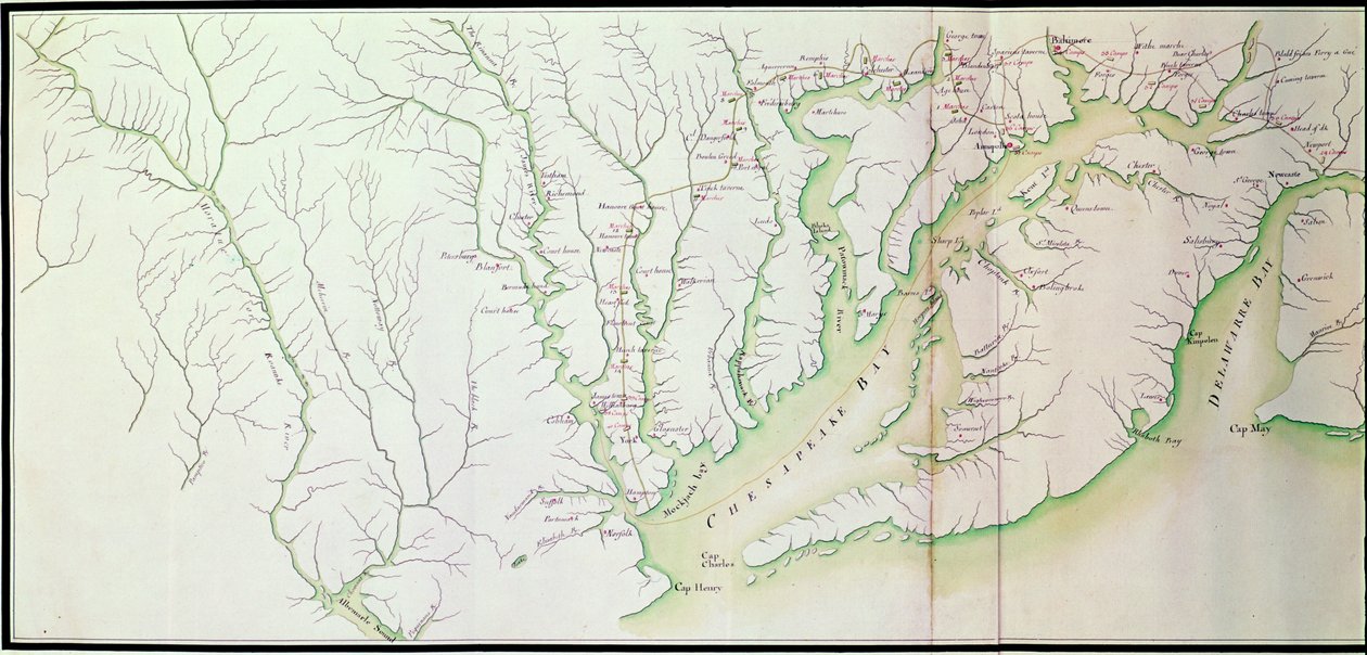
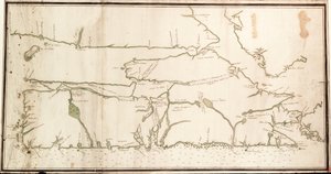
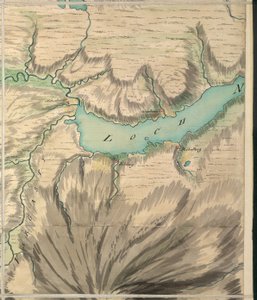
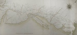
General map of the camps and march of the army in America on the orders of Rochambeau, detail of the left side, from Guerre de l'Amerique, c.1780-81 (detail) by F. Dubourg

General map of the camps and march of the army in America on the orders of Rochambeau, detail of the left side, from Guerre de l'Amerique, c.1780-81 (detail)

(General map of the camps and marche of the army in America on the orders of Rochambeau, detail of the left side, from Guerre de lAmerique, c.1780-81 colour engraving see also 440787)


F. Dubourg

€ 107.11
Tax-free
   Configure art print
1799  ·  colour engraving  ·  Image ID: 357905

Nonclassified artists  ·  Cartography

General map of the camps and march of the army in America on the orders of Rochambeau, detail of the left side, from Guerre de l'Amerique, c.1780-81 (detail) by F. Dubourg. Available as an art print on canvas, photo paper, watercolor board, natural paper, or Japanese paper.
american war of independence · revolutionary war · cartography · birds eye view · coast · coastline · america · chesapeake bay · delaware bay · maryland · camp · camps · rochambeau · orders · journey · journeys · movement · army · troops · encampment · encampments · Service Historique de la Marine, Vincennes, France / Bridgeman Images
AR/3D   View in 3D / AR zu Favoriten hinzufügen   Add to favorites    Change wall color    View picture in a room
0 Reviews

Configure art print

Picture Frame

Medium & Stretcher

Glass & Passepartout

Miscellaneous & Extras

 Save / compare configuration
Preview Icon

Summary

Gemälde
Veredelung
Keilrahmen
Museumslizenz

€ 107.11
(inkl. 20% MwSt)
   Add to cart

Bildschärfe: PERFEKT

If you'd like us to adjust the brightness, colors, or crop the image, we're happy to do this for you at no extra cost. Just get in touch!

Similar artworks selected for you

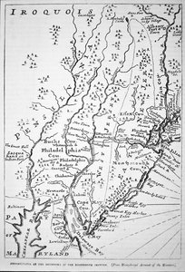
Map of Pennsylvania at the beginning of the 18th century, from Humphrey March of the Army under Lieutenant General Earl Cornwallis in Virginia, from the Junction at Petersburg on the 20th of May, till Their Arrival at Portsmouth on the 12th of July 1781 Captaincy of São Paulo in 1766, in the Chorographic Map of the Boundaries of the State of Minas Gerais with São Paulo A Map of the Most Inhabited Part of Virginia Map of North and South Carolina A Trader The Course of the River Amazon Nova Scotia, c.1760 Maryland, Southern New Jersey, Delaware and the Eastern Part of Virginia and North Carolina, Engraving by G. Zuliani from Tome I of the "Newest Atlas" The Battle of Falkirk, 28 January 1746 Land of the Cherokees with the western part of North Carolina and Virginia, engraving by G. Zuliani taken from Tome I of the Map of Raleigh Map of the Borders of European Russia with Turkey, from the Mouths of the Danube to the Caucasus A map of Canada and the north part of Louisiana with the adjacent countries Map of Charleston, South Carolina, 3 August 1781 Captain Snow Chart of the Mississippi River from the Ohio River to Gulf of Mexico Map of Boston and Environs, ca. 1775 Map of the Borders of European Russia with Turkey, from the Mouths of the Danube to the Caucasus Colonial America: Map of Louisiana, New France South Part of New England as it is Planted this Year 1634 Altnaharra, Roy Military Survey of Scotland Connecticut Map of Kentucke, Engraved by Henry D. Pursell, Printed by T. Rook, Philadelphia, 1784 Connecticut, illustration from Cassell 1507 Ptolemaic Map of France Map of North and South Carolina England East Coast: Yarmouth and Lowestoft Roads Lister and Mandal Counties in the Kingdom of Norway with the Help of Geographical Maps
Show more similar artworks

More art prints by F. Dubourg

Map of Phillipsburg, from Map of Rhode Island, from Map of the Siege of York in 1781, from “Guerre de l’Amérique”, 1782 Map of Fisk-Kill and the position of the French army in 1782, from “Guerre de l Map of North West Point, Virginia, from Guerre de l’Amerique, 1782 Map of South West Point, Virginia, from ’Guerre de l’Amérique’, 1782 Map of Crompond, from ’Guerre de l’Amerique’, 1782 Reconnaissance of King General map of the camps and marches of the army in America on the orders of Rochambeau (detail) Reconnaissance of King General map of the camps and march of the army in America on the orders of Rochambeau, detail of the left side, from Guerre de l Front cover of the atlas Guerre de l
Show more works by F. Dubourg

More motifs from the category Cartography

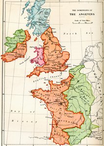
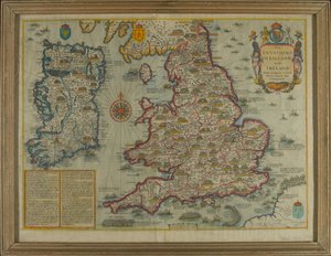
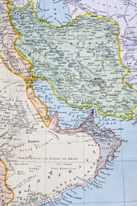
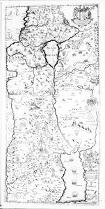
Reproduction of Map of Routes of St. James of Compostela, originally engraved by D. Serveaux 1648 Map of Berlin, printed by the Royal Lithographic Institute, Berlin, 1857 Map of the Strait of Magellan, plate from Oliver van Noort Ms. 988, Vol. 3, fol. 7 Plan and Map of the Town, Citadel and Surroundings of Amiens, from the ’Atlas Louis XIV’, 1683-88 Map of the dominions of the Angevins, c. 1170, from Map depicting the Invasions of England and Ireland with all their Civil Wars since the Conquest, c. 1627 Atlas 131 F fol. 2, Map of Bas-Poitou, Pays d Map of the World, Based on Descriptions and Coordinates Given in “Geographia”, by Ptolemy (Claudius Ptolemaeus of Alexandria) (c. 90-168 AD) The Pacific Ocean, from an Atlas of the World in 33 Maps, Venice, 1st September 1553 Partial Map of the Middle East showing the Red Sea, Persian Gulf and Horn of Africa in the 1890s, from A Map of Samaria, from Detail of Copy of a Catalan Map of Europe and North Africa, presented to Charles V of France in 1381 Map of Sas van Gent, Netherlands, 1747 Map Depicting North Africa, from an Atlas by Ptolemy, 1st Half of the 16th Century Map of Africa, engraved by Thomas Stirling
View More from "Cartography"

A selection of our top sellers

The Lady of Shalott Pandemonium Female Lute Player Young Girl Reading, c.1770 Palace of Amsterdam with Exotic Birds Woman with a Veil, 1915 Cosmic Cliffs in the Carina Nebula (NIRCam Image) Poor Little Bear!, 1912 The Harvest Small garden ghost Mulberry Tree, 1889 Duria antiquior (Ancient Dorset), an imaginative reconstruction of the life of the Jurassic seas, engraved by George Scharf (1820-95), printed by Charles Joseph Hullmandel (1789-1850) Ophelia, 1894 Roman art: “Spring”, Flora picking flowers. Fresco from the Villa of Varano in Stabiae, near Pompeii. 15 BC-60 AD. National Archaeological Museum, Naples Chalk Cliffs on Rügen
Show more artworks


What our customers think about us


Frequently Asked Questions about Meisterdrucke


Personalizing your art print at Meisterdrucke is simple and intuitive: Choose a frame, set the image size, pick a printing medium, and add suitable glazing or a stretcher frame. We also offer additional customization options like mats, fillets, and spacers. If you have any questions, our customer service team is ready to help you create your perfect artwork.

At Meisterdrucke, you can visualize your configured artwork directly in your own room. Simply upload a photo of your space and see how the artwork looks in it. If you're visiting us on a mobile device — phone or tablet — our augmented reality feature brings the picture to life and projects it right into your room. A unique experience that combines art and technology.

Choosing the right medium is often a matter of personal taste. To give you a better idea, we've provided some images for each medium. We also offer a sample set of all paper variants, so you can decide not just visually but by touch as well. You can order the sample set free of charge — only shipping costs apply.

Don't worry! At Meisterdrucke, we don't just process orders mechanically. Every order is manually reviewed by our team. If we spot any inconsistencies or issues with your configuration, we'll get in touch with you right away. And of course, our friendly and patient support team is always here to help you with your configuration. We'll work with you by phone or email to adjust your image so the final result is exactly what you had in mind.


Still have questions?

Are you interested in an art print from our manufactory but still unsure? Do you need advice on choosing the medium or help with the order?

Our experts are happy to assist you.

+43 4257 29415
support@meisterdrucke.com

Mo-Do: 7:00 - 16:00 | Fr: 7:00 - 13:00

Still have questions?

Are you interested in an art print from our manufactory but still unsure? Do you need advice on choosing the medium or help with the order?

Our experts are happy to assist you.

+43 4257 29415
support@meisterdrucke.com
Mo-Do: 7:00 - 16:00 | Fr: 7:00 - 13:00


Meisterdrucke

   Kärntner Strasse 46
        9586 Finkenstein am Faaker See
        Austria
        +43 4257 29415
        support@meisterdrucke.com
Other languages

                   
Erfahrungen & Bewertungen zu Meisterdrucke
Post.at DHL Express Quehenberger Cargoboard
Kaiser Franz Joseph

Meisterdrucke
Kärntner Strasse 46
9586 Finkenstein am Faaker See · Austria
+43 4257 29415 · support@meisterdrucke.com
Post.at DHL Express Quehenberger Cargoboard


(c) 2026 meisterdrucke.us