support@meisterdrucke.com  ·  0043 4257 29415

Deutsch English Italiano Español Français Nederlands Português Svenska Polski Dansk
Search by artist, work title or style – e.g. Monet, Starry Night, Impressionism, Hokusai wave, nude. Describe the scene – e.g. green meadow, abstract with lots of red, dark oil painting, standing nude next to a tree.

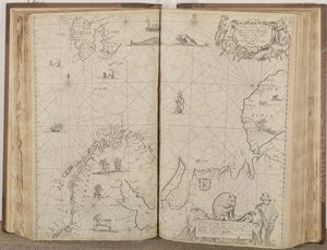
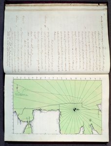
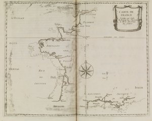
Chart showing the sea coast of England and Wales, plate from ’A Compleat Sett of Mapps of England and Wales in General...’, 1724 by Thomas Badeslade

Chart showing the sea coast of England and Wales, plate from ’A Compleat Sett of Mapps of England and Wales in General...’, 1724

(Chart showing the sea coast of England and Wales, plate from 'A Compleat Sett of Mapps of England and Wales in General...', 1724 (pen und ink and wc on paper))


Thomas Badeslade

€ 101.69
Tax-free
   Configure art print
1724  ·  pen and ink and watercolour on paper  ·  Image ID: 41908

Nonclassified artists  ·  Cartography

Chart showing the sea coast of England and Wales, plate from ’A Compleat Sett of Mapps of England and Wales in General...’, 1724 by Thomas Badeslade. Available as an art print on canvas, photo paper, watercolor board, natural paper, or Japanese paper.
text · complete · maps · cartography · mapping · coastline · english channel · german ocean · irish sea · county · counties · British Isles · Yale Center for British Art, Paul Mellon Collection, USA / Bridgeman Images
AR/3D   View in 3D / AR zu Favoriten hinzufügen   Add to favorites    Change wall color    View picture in a room
0 Reviews

Configure art print

Picture Frame

Medium & Stretcher

Glass & Passepartout

Miscellaneous & Extras

 Save / compare configuration
Preview Icon

Summary

Gemälde
Veredelung
Keilrahmen
Museumslizenz

€ 101.69
(inkl. 20% MwSt)
   Add to cart

Bildschärfe: PERFEKT

If you'd like us to adjust the brightness, colors, or crop the image, we're happy to do this for you at no extra cost. Just get in touch!

Similar artworks selected for you

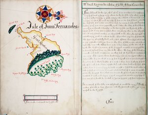
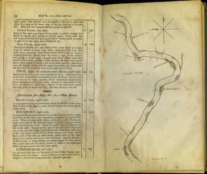
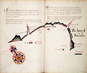
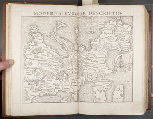
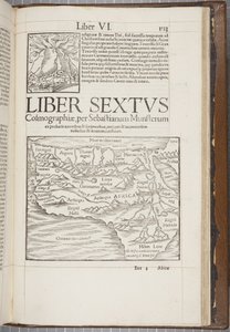
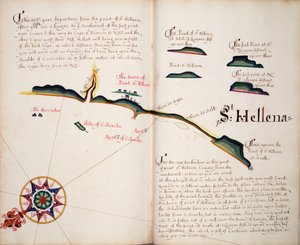
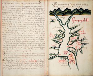
Map of France, c.1693 Isle of Juan Fernandes Pages from The Western Pilot..., by Samuel Cummings, Published by G. Conclin, Cincinnati The Bay of Saints Europe, from Cosmographia, 1544 Map of Christiansø with Text Side Leaves 3v & 4r, from Divers Voyages Touching the Discouerie of America... 1582 Map of the Coast of New Zealand, Illustration from A Journal of a Voyage to the South Seas: In His Majesty Vavassore Chart of the Mediterranean Sea, Believed to Be the Earliest Surviving Printed Chart Map of the Holy Land, based on descriptions and co-ordinates given in Cosmographica, by Ptolemy (Claudius Ptolemaeus of Alexandria) published in Ulm, Germany, by Johann Reger Cosmographia, detail of Galliae A Prospect of the Castle of St Sebastien from the South & Groundplatt of the Town and Harbor Saharan Mission Manglares, Bahia de Ancon de Sardinas Tabula Prima Europa, from The London Gazette, issue 5655, page 1, 28th June 1718 Passao The London Gazette, issue 5573, page 1 Picoaza A Map of the Country of the Five Nations, belonging to the Province of New York; and of the Lakes near which the Nations of Far Indians live, with part of Canada A Chart of the Sea Coasts of Russia, Lapland, Finmarke, Nova Zemla and Greenland, 1671 Cosmographia, Col 1113, 1544 St Helena A Description of the Sea Coasts in the East Indies Hand drawn map of the coasts of Portugal and Spain, 1756 Guayaquil R Collection of Locksmith Ischia, 1642 Holy Island and Lindisfarne, in
Show more similar artworks

More art prints by Thomas Badeslade

Broome, the seat of Sir Basil Dixwell, from View of Belvoir Castle from the South West, with Belvoir Hunt in Full Cry, 1730 Chart showing the sea coast of England and Wales, plate from ’A Compleat Sett of Mapps of England and Wales in General...’, 1724 Tunbridge Wells, from Kent, plate 39r, from A Compleat Sett of Mapps of England and Wales in General..., 1724 Title Page of A Compleat Sett of Mapps of England and Wales in General... Tunbridge Wells, from Front cover of A Compleat Sett of Mapps of England and Wales in General... The West Prospect of Knole, from
Show more works by Thomas Badeslade

More motifs from the category Cartography

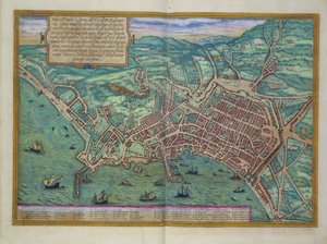
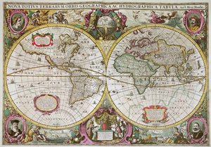
Map of North and South America, from the Map of Le Marais, Paris Eastern Hemisphere, from a Series of World Maps published by John Tallis and Co., New York and London, 1850s A Map of Shoreditch and Whitechapel, London, 1746 Map of Caernarvon, 1616 Cartouche of Quebec from “Carte de l Map of Belgium at the time of the Thirty Years Map of South America Map of the Holy Land Map of the World, Based on Descriptions and Coordinates Given in “Geographia”, by Ptolemy (Claudius Ptolemaeus of Alexandria) (c. 90-168 AD) Fol. 54v Map of Florida, from “Cosmographie Universelle”, 1555 Map of France showing plans to divide departments, 1789 Map of Naples, from ‘Civitates Orbis Terrarum’ by Georg Braun (1541-1622) and Frans Hogenberg (1535-90), c.1572 A New Land and Water Map of the Entire Earth, 1630 Fol. 31v Map of Australia and Magellan Island from “Cosmographie Universelle”, 1555
View More from "Cartography"

A selection of our top sellers

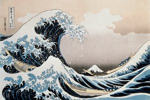
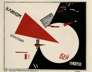
The Great Wave off the Coast of Kanagawa, c. 1829-c. 1831 Portrait of a Woman, 1910 Beat the Whites with the Red Wedge, Poster, 1920 Murnau, Burggraben Street Empress Eugénie (1826-1920) Surrounded by her Ladies-in-Waiting, 1855 Meadows near Greifswald Woman Artist - Marcella Isle of the Dead. Fifth version. 1886 Boy Writing with His Sister, 1875 Poplars on the River Seine Silent Night The Water-Lily Pond Christ Pantocrator Girl with a Pearl Earring Village Landscape in Morning Light
Show more artworks


What our customers think about us


Frequently Asked Questions about Meisterdrucke


Personalizing your art print at Meisterdrucke is simple and intuitive: Choose a frame, set the image size, pick a printing medium, and add suitable glazing or a stretcher frame. We also offer additional customization options like mats, fillets, and spacers. If you have any questions, our customer service team is ready to help you create your perfect artwork.

At Meisterdrucke, you can visualize your configured artwork directly in your own room. Simply upload a photo of your space and see how the artwork looks in it. If you're visiting us on a mobile device — phone or tablet — our augmented reality feature brings the picture to life and projects it right into your room. A unique experience that combines art and technology.

Choosing the right medium is often a matter of personal taste. To give you a better idea, we've provided some images for each medium. We also offer a sample set of all paper variants, so you can decide not just visually but by touch as well. You can order the sample set free of charge — only shipping costs apply.

Don't worry! At Meisterdrucke, we don't just process orders mechanically. Every order is manually reviewed by our team. If we spot any inconsistencies or issues with your configuration, we'll get in touch with you right away. And of course, our friendly and patient support team is always here to help you with your configuration. We'll work with you by phone or email to adjust your image so the final result is exactly what you had in mind.


Still have questions?

Are you interested in an art print from our manufactory but still unsure? Do you need advice on choosing the medium or help with the order?

Our experts are happy to assist you.

+43 4257 29415
support@meisterdrucke.com

Mo-Do: 7:00 - 16:00 | Fr: 7:00 - 13:00

Still have questions?

Are you interested in an art print from our manufactory but still unsure? Do you need advice on choosing the medium or help with the order?

Our experts are happy to assist you.

+43 4257 29415
support@meisterdrucke.com
Mo-Do: 7:00 - 16:00 | Fr: 7:00 - 13:00


Meisterdrucke

   Kärntner Strasse 46
        9586 Finkenstein am Faaker See
        Austria
        +43 4257 29415
        support@meisterdrucke.com
Other languages

                   
Erfahrungen & Bewertungen zu Meisterdrucke
Post.at DHL Express Quehenberger Cargoboard
Kaiser Franz Joseph

Meisterdrucke
Kärntner Strasse 46
9586 Finkenstein am Faaker See · Austria
+43 4257 29415 · support@meisterdrucke.com
Post.at DHL Express Quehenberger Cargoboard


(c) 2026 meisterdrucke.us