support@meisterdrucke.com  ·  0043 4257 29415

Deutsch English Italiano Español Français Nederlands Português Svenska Polski Dansk
Search by artist, work title or style – e.g. Monet, Starry Night, Impressionism, Hokusai wave, nude. Describe the scene – e.g. green meadow, abstract with lots of red, dark oil painting, standing nude next to a tree.

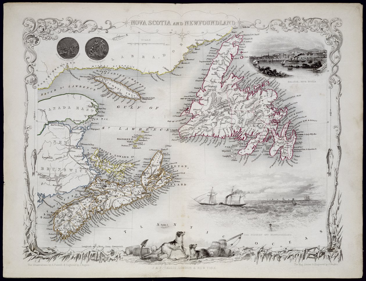
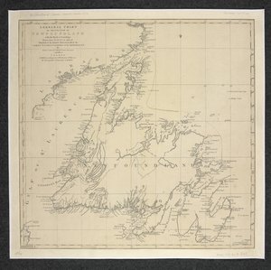
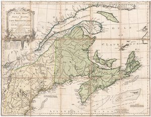
Nova Scotia and Newfoundland, from a series of world maps published by John Tallis and Co., New York and London, in the 1850s by John Rapkin

Nova Scotia and Newfoundland, from a series of world maps published by John Tallis and Co., New York and London, in the 1850s

(Nova Scotia and Newfoundland, from a Series of World Maps published by John Tallis und Co., New York und London, 1850s )


John Rapkin

€ 124.71
Tax-free
   Configure art print
Undated  ·  engraving  ·  Image ID: 168065

Nonclassified artists  ·  Cartography

Nova Scotia and Newfoundland, from a series of world maps published by John Tallis and Co., New York and London, in the 1850s by John Rapkin. Available as an art print on canvas, photo paper, watercolor board, natural paper, or Japanese paper.
Private Collection / Bridgeman Images
AR/3D   View in 3D / AR zu Favoriten hinzufügen   Add to favorites    Change wall color    View picture in a room
0 Reviews

Configure art print

Picture Frame

Medium & Stretcher

Glass & Passepartout

Miscellaneous & Extras

 Save / compare configuration
Preview Icon

Summary

Gemälde
Veredelung
Keilrahmen
Museumslizenz

€ 124.71
(inkl. 20% MwSt)
   Add to cart

Bildschärfe: PERFEKT

If you'd like us to adjust the brightness, colors, or crop the image, we're happy to do this for you at no extra cost. Just get in touch!

Similar artworks selected for you

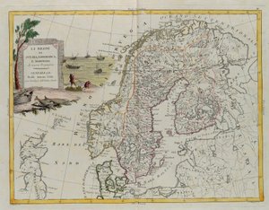
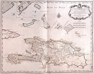
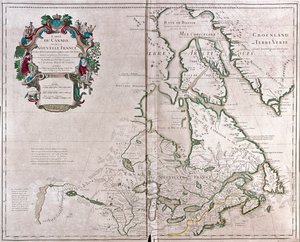
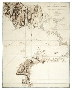
A Map of the British and French Dominions in America The islands of Newfoundland and Cape Breton, engraving by G. Zuliani from An Account of the New Northern Archipelago Lately Discovered by the Russians The Islands of New Land and Cape Breton of New Projection 1778 Map of New France dedicated to Colbert by Duchesneau, Intendant, 1681 (detail) Polynesia or Islands in the Pacific Ocean, from a Series of World Maps by John Tallis and Co., New York and London, 1850s Part of South Australia, from a Series of World Maps published by John Tallis und Co, New York and London Map of Iceland Map of Canada, Engraving from Survey by Samuel de Champlain Falkland Islands and Patagonia, from a series of world maps published by John Tallis and Co., New York and London, 1850s Map of Canada, published Paris, 1703 British Islands: England, Scotland, and Ireland A chart of the coast of America from Newfoundland to Cape Cod Porto Rico and Virgin Isles: Haiti, Hispaniola or St. Domingo, 1817 Map of Malta, Gozo and Comino A General Chart of the Island of Newfoundland with the Rocks & Soundings, Drawn from Surveys taken By James Cook and Michael Lane Map of the North Sea, c.1675 Map of English Colonies in the Caribbean, published by Homanns Heirs, Nuremberg, c. 1750 A chart of the North Sea from South Foreland to Burnham Flatts, and from Callis to Schelling Isle, c.1700 A Map of Nova Scotia Kingdom of Scotland The Islands of Majorca, Ivica and Formentera, Engraving by G. Zuliani from Tome I of the "Newest Atlas" The Kingdoms of Sweden, Denmark and Norway, Engraving by G. Zuliani from Tome III of the "Newest Atlas" Map of British America Santo Domingo - by A Canada Plan of the Harbour, Fort, Town and Environs of Fort Royal in Martinique Map of Iceland, from L
Show more similar artworks

More art prints by John Rapkin

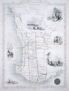
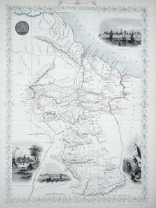
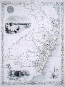
Nova Scotia and Newfoundland, from a series of world maps published by John Tallis and Co., New York and London, in the 1850s Patagonia, from a Series of World Maps published by John Tallis and Co., New York and London, 1850s Falkland Islands and Patagonia, from a series of world maps published by John Tallis and Co., New York and London, 1850s Eastern Hemisphere, from a Series of World Maps published by John Tallis and Co., New York and London, 1850s Map of China and Burma, 1851 Van Diemen Victoria or Port Phillip, Australia, from a Series of World Maps published by John Tallis & Co, New York & London Polynesia or Islands in the Pacific Ocean, from a Series of World Maps by John Tallis and Co., New York and London, 1850s Overland Route to India Australia, from a Series of World Maps Published by John Tallis and Co., London and New York, 1850s Part of South Australia, from a Series of World Maps published by John Tallis und Co, New York and London Western Australia, from a Series of World Maps published by John Tallis & Co., London & New York British Guyana, from a Series of World Maps published by John Tallis & Co., New York & London Map of British America New South Wales, from a Series of World Maps published by John Tallis & Co., London & New York
Show more works by John Rapkin

More motifs from the category Cartography

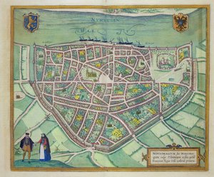
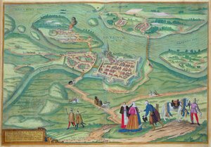
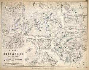
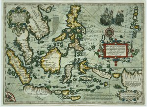
Map of the Travels and Expeditions of Alexander the Great (356-323 BC) in Asia Map of the Black Sea Ms 988 Vol. 3 fol. 29, Map and plan of Saint-Malo, from the Map of Brazil, 1749 Map of Nijmegen, from ’Civitates Orbis Terrarum’ by Georg Braun (1541-1622) and Frans Hogenberg (1535-90), c. 1572-1617 Sketch map of Africa, from Map of the Caribbean Islands Italy, from an Atlas of the World in 33 Maps, Venice, 1st September 1553 Map of Raab, from Civitates Orbis Terrarum by Georg Braun (1541-1622) and Frans Hogenberg (1535-90), 1597 Map of Sixteenth Century Turkey, from the Map of Heilsberg, published by William Blackwood and Sons, Edinburgh and London, 1848 Map of Wratislava, Breslau, from Ms 988 volume 3 fol.31 Map of Concarneau, from the ’Atlas Louis XIV’, 1683-88 Map of Paris, 1620 (detail of 285193) Map of the East Indies, published 1635 in Amsterdam
View More from "Cartography"

A selection of our top sellers

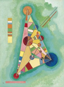
The School of Athens The Garden of the Artist in Wannsee, 1918 Portrait presumed to be Johann Sebastian Bach, 1717-23 Colorful in the triangle Autumn Tree in Moving Air ("Winter Tree") The Munnekeholm with the Aduardergasthuis in the foreground and the West-Indisch Huis in the background The Bookworm View of a Harbour The Valley of Tears, 1883 The Absinthe Drinkers, 1908 Lunch - The Soup, Version II, 1910 Collage on a Black Background A Gotthelf reader Hylas and the Nymphs Winter, 1573
Show more artworks


What our customers think about us


Frequently Asked Questions about Meisterdrucke


Personalizing your art print at Meisterdrucke is simple and intuitive: Choose a frame, set the image size, pick a printing medium, and add suitable glazing or a stretcher frame. We also offer additional customization options like mats, fillets, and spacers. If you have any questions, our customer service team is ready to help you create your perfect artwork.

At Meisterdrucke, you can visualize your configured artwork directly in your own room. Simply upload a photo of your space and see how the artwork looks in it. If you're visiting us on a mobile device — phone or tablet — our augmented reality feature brings the picture to life and projects it right into your room. A unique experience that combines art and technology.

Choosing the right medium is often a matter of personal taste. To give you a better idea, we've provided some images for each medium. We also offer a sample set of all paper variants, so you can decide not just visually but by touch as well. You can order the sample set free of charge — only shipping costs apply.

Don't worry! At Meisterdrucke, we don't just process orders mechanically. Every order is manually reviewed by our team. If we spot any inconsistencies or issues with your configuration, we'll get in touch with you right away. And of course, our friendly and patient support team is always here to help you with your configuration. We'll work with you by phone or email to adjust your image so the final result is exactly what you had in mind.


Still have questions?

Are you interested in an art print from our manufactory but still unsure? Do you need advice on choosing the medium or help with the order?

Our experts are happy to assist you.

+43 4257 29415
support@meisterdrucke.com

Mo-Do: 7:00 - 16:00 | Fr: 7:00 - 13:00

Still have questions?

Are you interested in an art print from our manufactory but still unsure? Do you need advice on choosing the medium or help with the order?

Our experts are happy to assist you.

+43 4257 29415
support@meisterdrucke.com
Mo-Do: 7:00 - 16:00 | Fr: 7:00 - 13:00


Meisterdrucke

   Kärntner Strasse 46
        9586 Finkenstein am Faaker See
        Austria
        +43 4257 29415
        support@meisterdrucke.com
Other languages

                   
Erfahrungen & Bewertungen zu Meisterdrucke
Post.at DHL Express Quehenberger Cargoboard
Kaiser Franz Joseph

Meisterdrucke
Kärntner Strasse 46
9586 Finkenstein am Faaker See · Austria
+43 4257 29415 · support@meisterdrucke.com
Post.at DHL Express Quehenberger Cargoboard


(c) 2026 meisterdrucke.us