support@meisterdrucke.com  ·  0043 4257 29415

Deutsch English Italiano Español Français Nederlands Português Svenska Polski Dansk
Search by artist, work title or style – e.g. Monet, Starry Night, Impressionism, Hokusai wave, nude. Describe the scene – e.g. green meadow, abstract with lots of red, dark oil painting, standing nude next to a tree.

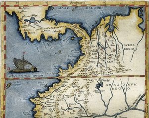
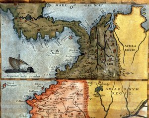
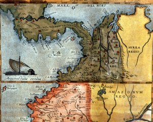
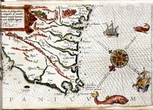
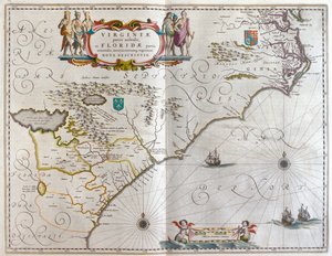
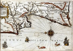
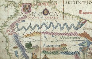
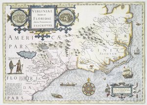
Coast of North Carolina (detail) by Jodocus Hondius

Coast of North Carolina (detail)

(Coast of North Carolina, detail of the map titled Virginiae item et Floridae from the Mercator Atlas... of 1606, pub. by Jodocus Hondius, 1619 hand coloured engraving see also 66818, 81957 & 81958)


Jodocus Hondius

€ 125.55
Tax-free
   Configure art print
1606  ·  hand coloured engraving  ·  Image ID: 354741

Nonclassified artists  ·  Cartography

Coast of North Carolina (detail) by Jodocus Hondius. Available as an art print on canvas, photo paper, watercolor board, natural paper, or Japanese paper.
native · american · indian · canoe · sea monster · Private Collection / Bridgeman Images
AR/3D   View in 3D / AR zu Favoriten hinzufügen   Add to favorites    Change wall color    View picture in a room
0 Reviews

Configure art print

Picture Frame

Medium & Stretcher

Glass & Passepartout

Miscellaneous & Extras

 Save / compare configuration
Preview Icon

Summary

Gemälde
Veredelung
Keilrahmen
Museumslizenz

€ 125.55
(inkl. 20% MwSt)
   Add to cart

Bildschärfe: PERFEKT

If you'd like us to adjust the brightness, colors, or crop the image, we're happy to do this for you at no extra cost. Just get in touch!

Similar artworks selected for you

North Carolina, titled Theatrum Orbis Terrarum Gold Yielding Regions of Peru, Volume VII, Atlas Maior, by Joan Blaeu Map of Central America. 16th century. Map of Central America in the 16th Century Harbor of Palos, by Abraham Ortelius (1528-1598), Plate Andalusia, Spain (engraving) Map of America Created by Joan Blaeu Cape Finisterre after the portulan of Luca J. Waghenaer tresoor de zeevaert, Leiden 1592 Map of the gold-bearing regions in Peru, from the Atlas Maior, Sive Cosmographia Blaviana, 1662 Straits of Magellan (engraving) 1592 Map of Africa Theatrum Orbis Terrarum, 1570. Map of Western Andalusia by Abraham Ortelius and Jeronimo de Chaves Southeast, in Northwest Africa with the Canaries (engraving) Aragon and Catalonia, Spain (engraving) South America America Meridionalis: from the Atlas of Gerardus Mercator, 1633, 1936 Port of Palos in Andalusia, from Theatrum Orbis Terrarum by Abraham Ortelius Fol. 13 Map of South America and the Magellan Straits, from an atlas, 1571 Chart of the English Channel Map of Peru, from the Records of Hernando de Soto Map of Western Liguria Region Cape Sagres (or Sacred Cape) at the end of Portugal after the portulan of Luca J. Waghenaer Treesor of zeevaert printed in Leiden in 1592 Map of Andalusia, with Seville and Córdoba, Spain Geographic map of the 17th century Dutch Atlas by Wilhelm Blaeu showing American and Canadian territories fur animal peoples. The North is below according to medieval custom. Map of Colombia and Peru. 1590. Historical Geographical Map of Palestine According to the Atlas of Abraham Ortelius, Amsterdam Northern South America, detail from a world atlas, 1565 French Map of Central and South America
Show more similar artworks

More art prints by Jodocus Hondius

Leo Belgicus - map of the Low Countries (1611) Portrait of Sir Francis Drake Nova totius terrarum orbis geographica ac hydrographica tabula - Map of the World, 1631 A General Card and Description of the Sea Coasts of Europe, and Navigation Contained in This Book Map of Wales, published c.1630 Celestial globe Map of the Kingdom of Great Britain and Ireland, 1610 Drake Freti Magellanici ac Novi Freti Vulgo Le Maire Exactissima Delineatio The Indian Subcontinent to the Philippines by Way of the Northern Portions of the Indonesian Archipelago and the Malay Peninsula York, Shrewsbury, Lancaster and castle of Richmond, England Coast of North Carolina (detail) World map; Vera Totius Expeditionis Nauticae, charting the circumnavigation of the globe by (left) Sir Francis Drake (1540-96) and (right) Thomas Cavendish (1560-92), c. 1595 Virginiae Item et Floridae Americae Provinciarum, Nova Descriptio China
Show more works by Jodocus Hondius

More motifs from the category Cartography

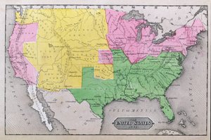
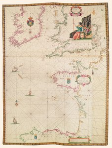
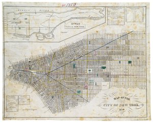
Map of La Rochelle, from World Map of Mercator (1587) - after “Gerardi Mercatoris Atlas sive Cosmographicae meditationes de fabrica mundi et fabricati figura”, Amsterdam Map of Africa, published in 1700, Paris Fol. 34v, Map of Australia, from Map of Berlin and Cölln, 1688 Map of the United States in 1861, from “Our Whole Country: The Past and Present of the United States, Historical and Descriptive”, by John Warner Barber and Henry Hare, 1861 Map of the Siege of Toulon, published by William Blackwood and Sons, Edinburgh and London, 1848 Map of the Passage of the Beresina, published by William Blackwood and Sons, Edinburgh and London, 1848 The coasts of France, England and Ireland, from Collection of Dutch Marine Maps Map of Alexander the Great A Map of The King Map of Map of the City of New York, 1850 Map of the Paris to St. Germain Railway, by A. M. Perrot, 26th August 1837 Map of India, published under the direction of Colonel H.R. Thuillier, R.E., Surveyor General of India, 1882
View More from "Cartography"

A selection of our top sellers

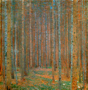
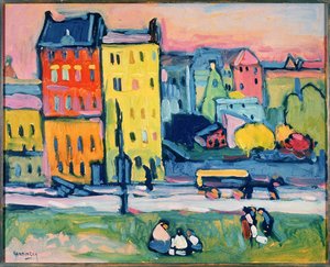
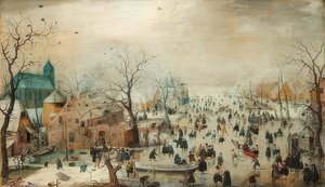
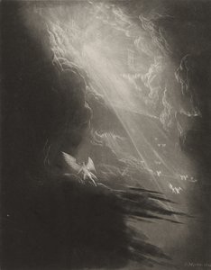
Fir Forest I, 1901 Summer Evening on the Skagen Southern Beach with Anna Ancher and Marie Krøyer Houses in Munich, 1908 Winter Landscape with Ice Skaters, circa 1608 Satan Viewing the Ascent to Heaven, c.1827 The Plain of Auvers, 1890 Portrait of the Philosopher and Esotericist Rudolf Steiner Lady Godiva The Sun Fast Sinks in the West On Board a Sailing Ship Whimsical, 1930 Children of the Sea Glory to the Hero, diptych, 1933 Blooming Chestnut Tree The Ascent into the Heavenly Paradise
Show more artworks


What our customers think about us


Frequently Asked Questions about Meisterdrucke


Personalizing your art print at Meisterdrucke is simple and intuitive: Choose a frame, set the image size, pick a printing medium, and add suitable glazing or a stretcher frame. We also offer additional customization options like mats, fillets, and spacers. If you have any questions, our customer service team is ready to help you create your perfect artwork.

At Meisterdrucke, you can visualize your configured artwork directly in your own room. Simply upload a photo of your space and see how the artwork looks in it. If you're visiting us on a mobile device — phone or tablet — our augmented reality feature brings the picture to life and projects it right into your room. A unique experience that combines art and technology.

Choosing the right medium is often a matter of personal taste. To give you a better idea, we've provided some images for each medium. We also offer a sample set of all paper variants, so you can decide not just visually but by touch as well. You can order the sample set free of charge — only shipping costs apply.

Don't worry! At Meisterdrucke, we don't just process orders mechanically. Every order is manually reviewed by our team. If we spot any inconsistencies or issues with your configuration, we'll get in touch with you right away. And of course, our friendly and patient support team is always here to help you with your configuration. We'll work with you by phone or email to adjust your image so the final result is exactly what you had in mind.


Still have questions?

Are you interested in an art print from our manufactory but still unsure? Do you need advice on choosing the medium or help with the order?

Our experts are happy to assist you.

+43 4257 29415
support@meisterdrucke.com

Mo-Do: 7:00 - 16:00 | Fr: 7:00 - 13:00

Still have questions?

Are you interested in an art print from our manufactory but still unsure? Do you need advice on choosing the medium or help with the order?

Our experts are happy to assist you.

+43 4257 29415
support@meisterdrucke.com
Mo-Do: 7:00 - 16:00 | Fr: 7:00 - 13:00


Meisterdrucke

   Kärntner Strasse 46
        9586 Finkenstein am Faaker See
        Austria
        +43 4257 29415
        support@meisterdrucke.com
Other languages

                   
Erfahrungen & Bewertungen zu Meisterdrucke
Post.at DHL Express Quehenberger Cargoboard
Kaiser Franz Joseph

Meisterdrucke
Kärntner Strasse 46
9586 Finkenstein am Faaker See · Austria
+43 4257 29415 · support@meisterdrucke.com
Post.at DHL Express Quehenberger Cargoboard


(c) 2026 meisterdrucke.us