support@meisterdrucke.com  ·  0043 4257 29415

Deutsch English Italiano Español Français Nederlands Português Svenska Polski Dansk
Search by artist, work title or style – e.g. Monet, Starry Night, Impressionism, Hokusai wave, nude. Describe the scene – e.g. green meadow, abstract with lots of red, dark oil painting, standing nude next to a tree.

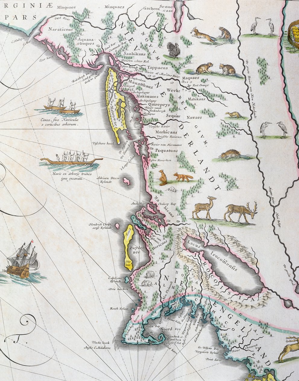
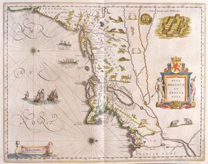
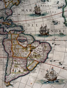
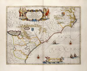
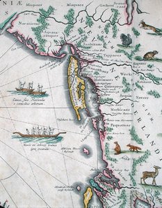
Map depicting the East Coast of North America, 1647 by Joan Blaeu

Map depicting the East Coast of North America, 1647

(Map depicting the East Coast of North America, 1647 (see 93602 and 216517))


Joan Blaeu

€ 123.19
Tax-free
   Configure art print
1647  ·  colour lithograph  ·  Image ID: 190032

Nonclassified artists  ·  Cartography

Map depicting the East Coast of North America, 1647 by Joan Blaeu. Available as an art print on canvas, photo paper, watercolor board, natural paper, or Japanese paper.
upside down · dutch ship · native american · indian canoes · boats · Private Collection / Bridgeman Images
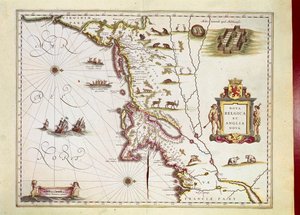
Other color versions of this image  
AR/3D   View in 3D / AR zu Favoriten hinzufügen   Add to favorites    Change wall color    View picture in a room
0 Reviews

Configure art print

Picture Frame

Medium & Stretcher

Glass & Passepartout

Miscellaneous & Extras

 Save / compare configuration
Preview Icon

Summary

Gemälde
Veredelung
Keilrahmen
Museumslizenz

€ 123.19
(inkl. 20% MwSt)
   Add to cart

Bildschärfe: PERFEKT

If you'd like us to adjust the brightness, colors, or crop the image, we're happy to do this for you at no extra cost. Just get in touch!

Similar artworks selected for you

Map depicting the East Coast of North America Map of Coast of Virginia, from Theatrum Orbis Terrarum Map of Nova Belgica or New Belgium and of Anglia Nova or New England Map of New Belgium and New England, published in Amsterdam c.1640 Extreme northeast coastline of the States, in Madagascar and East African Coastline, detail from a world atlas, 1565 Cape Finisterre after the portulan of Luca J. Waghenaer tresoor de zeevaert, Leiden 1592 The Novi Belgii Map of New York, New Jersey and Pennsylvania America, plate 17 from Gold Yielding Regions of Peru, Volume VII, Atlas Maior, by Joan Blaeu The Famous West Indian Voyage Made by the English Fleet of 23 Ships and Barks Illustration from the Queen Mary Atlas New and Accurate Map of the Bishoprics of Stavanger and Bergen Map of Southern Africa, published in Strasbourg in 1522 Route of Drake New Belgium, plate from Map of America Created by Joan Blaeu Map Engraved by Bellin After Earlier Voyages New Netherland and New England, 1682 North Atlantic and South America, Volume XI, Atlas Maior Map of Africa, India, Indian Ocean and East Indies Theatrum Orbis Terrarum Map of polar regions, by Dutch cartographer Willem Janszoon Blaeu Peru, in Fol. 13 Map of South America and the Magellan Straits, from an atlas, 1571 California or New Carolina - Theater of the Works, Apostles of the Society of Jesus in North America Map of New Belgium with a View of New Amsterdam, compiled by Nicolaes Visscher (1618-1709), c. 1651-55 Croatia, Bosnia and Herzegovina, Serbia, Northern Albania, Montenegro
Show more similar artworks

More art prints by Joan Blaeu

Map of East Prussia, from Italy, Map of Pesaro, from Theatrum civitatum et admirandorum Italiae by Joan Blaeu, engraving Luxembourg, the capital of the Duchy Map of Spoleto from Theatrum civitatum et admirandorum Italiae, by Joan Blaeu Map of Virginia and Florida Map of New Belgium and New England, published in Amsterdam c.1640 Map of the travels of Alexander the Great (356-323 BC) from Map of the gold-bearing regions in Peru, from the Atlas Maior, Sive Cosmographia Blaviana, 1662 Map of Frankfurt and the surrounding area, from „Nova Hanc Territori Francofurtensis Tabulum“, 1649 Map of Europe from: Atlas Maior Map of China, from ”Atlas Maior Sive Cosmographia Blaviana”, 1662 New and “Most Accurate” World Map Map depicting the East Coast of North America, 1647 Map of Assisi from Theatrum civitatum et admirandorum Italiae, by Joan Blaeu Map of Cambridgeshire, published Amsterdam c.1647-48
Show more works by Joan Blaeu

More motifs from the category Cartography

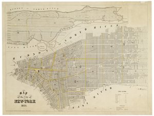
Map of the Battles of Smolensk and Valtellina, published by William Blackwood and Sons, Edinburgh and London, 1848 Map of Charles V, map by Mecia de Viladestes, a portolan of Europe and North Africa, 1413 Map of the City and Portuguese Port of Goa, India, 1595 Map illustrating the Naval Attack on England by Napoleon Bonaparte (1769-1821), c. 1803-04 Insurance Map of the City of Philadelphia; volume 2, plate 15, 1887 City Map of Jerusalem in the 1890s, from Map No. 8 showing the route of the Armada fleet, engraved by Augustine Ryther, 1588 Map describing the islands of Salvador, Española, Fernanda, Isabella and Conception, 1493 Iceland, from an Atlas of the World in 33 maps, Venice, 1st September 1553 (detail from 330951) Map of Berlin showing buildings of interest, 1773 Map of New Belgium and New England, published in Amsterdam c.1640 ’Map of New England, Being the first that ever was here cut...’, 1677 Map of the City of New York, 1854 Map of Europe and Africa, from the ‘Sala del Mappamondo’ (Hall of the World Maps) Drawing for the map of the moon, 1794
View More from "Cartography"

A selection of our top sellers

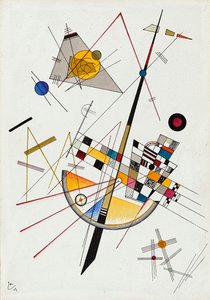
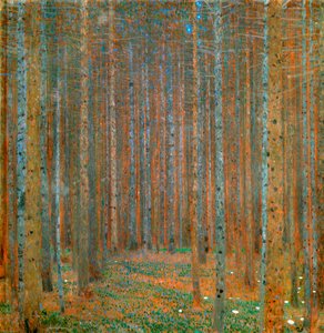
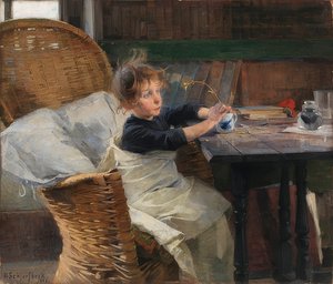
Morning in a Pine Forest The Cactus Lover Delicate Tension No. 85, 1923 Birch tree Fir Forest I, 1901 Wheatfield View of El Castillo, 1844 The Convalescent, 1888 Standing Nude with Orange Drapery, 1914 The Boxer Dancers in blue, 1890 Saviour. From the Deesis tier A Bar Waterlilies: Morning, 1914-18 (left section) The Apparition
Show more artworks


What our customers think about us


Frequently Asked Questions about Meisterdrucke


Personalizing your art print at Meisterdrucke is simple and intuitive: Choose a frame, set the image size, pick a printing medium, and add suitable glazing or a stretcher frame. We also offer additional customization options like mats, fillets, and spacers. If you have any questions, our customer service team is ready to help you create your perfect artwork.

At Meisterdrucke, you can visualize your configured artwork directly in your own room. Simply upload a photo of your space and see how the artwork looks in it. If you're visiting us on a mobile device — phone or tablet — our augmented reality feature brings the picture to life and projects it right into your room. A unique experience that combines art and technology.

Choosing the right medium is often a matter of personal taste. To give you a better idea, we've provided some images for each medium. We also offer a sample set of all paper variants, so you can decide not just visually but by touch as well. You can order the sample set free of charge — only shipping costs apply.

Don't worry! At Meisterdrucke, we don't just process orders mechanically. Every order is manually reviewed by our team. If we spot any inconsistencies or issues with your configuration, we'll get in touch with you right away. And of course, our friendly and patient support team is always here to help you with your configuration. We'll work with you by phone or email to adjust your image so the final result is exactly what you had in mind.


Still have questions?

Are you interested in an art print from our manufactory but still unsure? Do you need advice on choosing the medium or help with the order?

Our experts are happy to assist you.

+43 4257 29415
support@meisterdrucke.com

Mo-Do: 7:00 - 16:00 | Fr: 7:00 - 13:00

Still have questions?

Are you interested in an art print from our manufactory but still unsure? Do you need advice on choosing the medium or help with the order?

Our experts are happy to assist you.

+43 4257 29415
support@meisterdrucke.com
Mo-Do: 7:00 - 16:00 | Fr: 7:00 - 13:00


Meisterdrucke

   Kärntner Strasse 46
        9586 Finkenstein am Faaker See
        Austria
        +43 4257 29415
        support@meisterdrucke.com
Other languages

                   
Erfahrungen & Bewertungen zu Meisterdrucke
Post.at DHL Express Quehenberger Cargoboard
Kaiser Franz Joseph

Meisterdrucke
Kärntner Strasse 46
9586 Finkenstein am Faaker See · Austria
+43 4257 29415 · support@meisterdrucke.com
Post.at DHL Express Quehenberger Cargoboard


(c) 2026 meisterdrucke.us