support@meisterdrucke.com  ·  0043 4257 29415

Deutsch English Italiano Español Français Nederlands Português Svenska Polski Dansk
Search by artist, work title or style – e.g. Monet, Starry Night, Impressionism, Hokusai wave, nude. Describe the scene – e.g. green meadow, abstract with lots of red, dark oil painting, standing nude next to a tree.

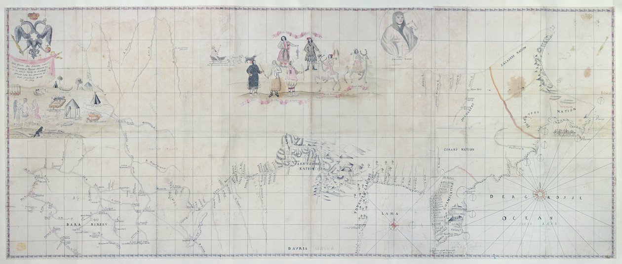
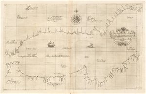
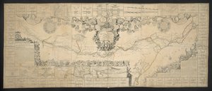
Map of Siberia, 1729 by German School

Map of Siberia, 1729

(Map of Siberia, 1729 (hand coloured engraving))


German School

€ 99.69
Tax-free
   Configure art print
1729  ·  hand coloured engraving  ·  Image ID: 63380

Cultural Circles  ·  Cartography

Map of Siberia, 1729 by German School. Available as an art print on canvas, photo paper, watercolor board, natural paper, or Japanese paper.
cartography · mapping · geographical · geography · siberian · russia · russian · sledge · daily life scene · people · costume · davria · provinces · asian · exploration · Private Collection / Bridgeman Images
AR/3D   View in 3D / AR zu Favoriten hinzufügen   Add to favorites    Change wall color    View picture in a room
0 Reviews

Configure art print

Picture Frame

Medium & Stretcher

Glass & Passepartout

Miscellaneous & Extras

 Save / compare configuration
Preview Icon

Summary

Gemälde
Veredelung
Keilrahmen
Museumslizenz

€ 99.69
(inkl. 20% MwSt)
   Add to cart

Bildschärfe: PERFEKT

If you'd like us to adjust the brightness, colors, or crop the image, we're happy to do this for you at no extra cost. Just get in touch!

Similar artworks selected for you

St. George Map of the Yenisei River Norway Military Survey of That Part of St Lucia Occupied by the British Forces from December 1778 to January 1784, When the Island Was Restored to the French Bay of Ancon de Sardinas Chart of the South Shetland Islands including Coronation Island, from the exploration of the sloop Dove in the years 1821 and 1822 by George Powell, commander of the same San Mateo Bay Cabo Corrientes, Mexico Vietri and Raito Chart of Santiago Astata and Bahia Ventosa The Old Man Isla Salanga and Santa Elena Triangulation Along a River A Rough Draft of Dublin Bay From Vietri, September 23 1646 Map of the Western Mediterranean and Gibraltar by Robert Dudley From Vietri, September 23 Chart of Cork Harbour, Ireland Map of Newport and Rhode Island Sketch of the Fortress of Ghuznee. Taken by Storm on the 23rd July 1839 Map of the Canal de Languedoc, connecting the Atlantic Ocean to the Mediterranean Sea, Dedicated and Presented to M.GRS Estates of Languedoc Siege of Saint-Omer Map of the Skøyen Farm, Østre Aker, with the Farm From Vietri, September 23 Plan of the Battle of Sinope San Miguel Map of the Spanish Fort at Tamsui, Later of the VOC Map of El Viejo Battle Plan for the Siege of Boston Harbour, c.1775-1776
Show more similar artworks

More art prints by German School

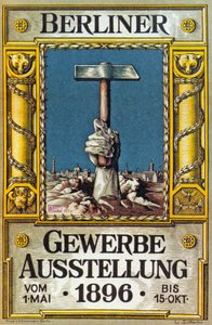
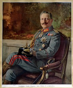
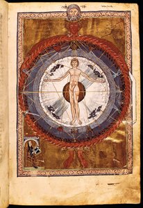
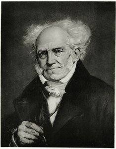
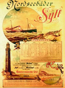
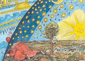
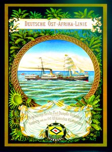
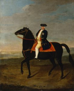
Wyk on Föhr, advertising poster for the Wyk Steam Shipping Company, 1897 Poster for the Industrial Exhibition in Berlin, Germany, 1896 Portrait of Kaiser Wilhelm II (1859-1941) Ms 1942 The Cosmic Spheres and Human Being, vision of Hildegard of Bingen from "Liber Divinorum Operum", c.1220-30 St. Brendan and a Siren, from the German translation of Navigatio Sancti Brendani Abbatis, c. 1476 Arthur Schopenhauer, 1884-90 The Whore of Babylon, from the Luther Bible, c. 1530 (coloured woodcut) Sylt North Sea Baths, advertising poster for the Sylt Steamship Company, 1893 Fantastic Depiction of the Solar System (later colouration) Poster advertising the German East Africa Line, 1890 King Frederick William I on Horseback with Potsdam in the Background, c.1735 Elk, 1860 Prince Otto von Bismarck-Schönhausen, 8 February 1891 Hildegard of Bingen The Choir of Angels. Miniature from Liber Scivias by Hildegard of Bingen, c. 1175
Show more works by German School

More motifs from the category Cartography

Map of Britain in 626, from The Northumbrian Kingdom 588 to 685 in Map of the Travels of Abraham, Isaac and Jacob, 1652 Typus Orbis Terrarum, map of the world, from Ortelius Map of English Colonies in the Caribbean, published by Homanns Heirs, Nuremberg, c. 1750 Map of the Holy Land, published in Amsterdam, 1629 Plan and map of the town and citadel of Mont-Louis, 1776 Map of Central and South America, from Map Charting the Movement of the Earth and Planets, from Map of Galicia with the route of the French army and a log, from the campaign in January, 1809 Map of Milan, from Civitates Orbis Terrarum by Georg Braun (1541-1622) and Frans Hogenburg (1535-90), c. 1572 World Map by Abraham Ortelius (1527-1598) Map of the moon, illustration from Sidereus Nuncius by Galileo Galilei, 1610 A New and Correct Map of the World, 1770-97 Map of countries first discovered by Christopher Columbus (1451-1506), 1500 Map of Europe and Africa, from the ‘Sala del Mappamondo’ (Hall of the World Maps)
View More from "Cartography"

A selection of our top sellers

The Water Lily Pond, Green Reflections View of a Harbour Ascending Road Landscape with Church and Path Whimsical, 1930 Caresses, 1896 Saviour. From the Deesis tier The Dolphin Fresco in the Queen A Pathway in Monet Hylas and the Nymphs Evening at the Iris Field Cypresses, 1889 Eldena Abbey Ruins near Greifswald The Portrait of Giovanni Arnolfini and his Wife (The Arnolfini Marriage) View of Houses in Delft, Known as The Little Street
Show more artworks


What our customers think about us


Frequently Asked Questions about Meisterdrucke


Personalizing your art print at Meisterdrucke is simple and intuitive: Choose a frame, set the image size, pick a printing medium, and add suitable glazing or a stretcher frame. We also offer additional customization options like mats, fillets, and spacers. If you have any questions, our customer service team is ready to help you create your perfect artwork.

At Meisterdrucke, you can visualize your configured artwork directly in your own room. Simply upload a photo of your space and see how the artwork looks in it. If you're visiting us on a mobile device — phone or tablet — our augmented reality feature brings the picture to life and projects it right into your room. A unique experience that combines art and technology.

Choosing the right medium is often a matter of personal taste. To give you a better idea, we've provided some images for each medium. We also offer a sample set of all paper variants, so you can decide not just visually but by touch as well. You can order the sample set free of charge — only shipping costs apply.

Don't worry! At Meisterdrucke, we don't just process orders mechanically. Every order is manually reviewed by our team. If we spot any inconsistencies or issues with your configuration, we'll get in touch with you right away. And of course, our friendly and patient support team is always here to help you with your configuration. We'll work with you by phone or email to adjust your image so the final result is exactly what you had in mind.


Still have questions?

Are you interested in an art print from our manufactory but still unsure? Do you need advice on choosing the medium or help with the order?

Our experts are happy to assist you.

+43 4257 29415
support@meisterdrucke.com

Mo-Do: 7:00 - 16:00 | Fr: 7:00 - 13:00

Still have questions?

Are you interested in an art print from our manufactory but still unsure? Do you need advice on choosing the medium or help with the order?

Our experts are happy to assist you.

+43 4257 29415
support@meisterdrucke.com
Mo-Do: 7:00 - 16:00 | Fr: 7:00 - 13:00


Meisterdrucke

   Kärntner Strasse 46
        9586 Finkenstein am Faaker See
        Austria
        +43 4257 29415
        support@meisterdrucke.com
Other languages

                   
Erfahrungen & Bewertungen zu Meisterdrucke
Post.at DHL Express Quehenberger Cargoboard
Kaiser Franz Joseph

Meisterdrucke
Kärntner Strasse 46
9586 Finkenstein am Faaker See · Austria
+43 4257 29415 · support@meisterdrucke.com
Post.at DHL Express Quehenberger Cargoboard


(c) 2026 meisterdrucke.us