support@meisterdrucke.com  ·  0043 4257 29415

Deutsch English Italiano Español Français Nederlands Português Svenska Polski Dansk
Search by artist, work title or style – e.g. Monet, Starry Night, Impressionism, Hokusai wave, nude. Describe the scene – e.g. green meadow, abstract with lots of red, dark oil painting, standing nude next to a tree.

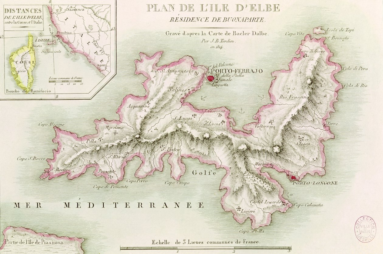
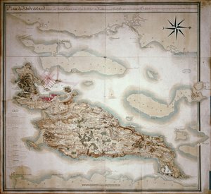
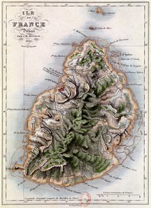
Map of the Island of Elba, engraved by Jean-Baptiste Tardieu (1768-1837), 1814 by Baron Louis Albert Bacler d'Albe

Map of the Island of Elba, engraved by Jean-Baptiste Tardieu (1768-1837), 1814

(Map of the Island of Elba, engraved by Jean-Baptiste Tardieu (1768-1837) 1814 )


Baron Louis Albert Bacler d'Albe

€ 137.53
Tax-free
   Configure art print
1814  ·  coloured engraving  ·  Image ID: 70081

Nonclassified artists  ·  Cartography

Map of the Island of Elba, engraved by Jean-Baptiste Tardieu (1768-1837), 1814 by Baron Louis Albert Bacler d'Albe. Available as an art print on canvas, photo paper, watercolor board, natural paper, or Japanese paper.
map of elba island · mediterranean sea · Elba · Musee de la Ville de Paris, Musee Carnavalet, Paris, France / Bridgeman Images
AR/3D   View in 3D / AR zu Favoriten hinzufügen   Add to favorites    Change wall color    View picture in a room
0 Reviews

Configure art print

Picture Frame

Medium & Stretcher

Glass & Passepartout

Miscellaneous & Extras

 Save / compare configuration
Preview Icon

Summary

Gemälde
Veredelung
Keilrahmen
Museumslizenz

€ 137.53
(inkl. 20% MwSt)
   Add to cart

Bildschärfe: PERFEKT

If you'd like us to adjust the brightness, colors, or crop the image, we're happy to do this for you at no extra cost. Just get in touch!

Similar artworks selected for you

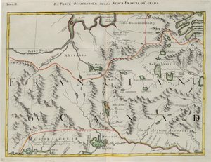
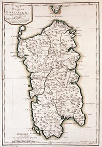
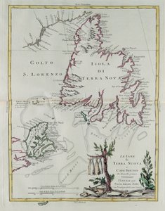
Map of Mauritius, illustration from Map of the Caribbean Island of Martinique Plan of the Battle of Salamis 480 BC by Jean Denis Barbie du Bocage (1760-1825) from Travels of Anacharsis in Greece The Island of Jamaica, from The Island of Martinique, from “Atlas de Toutes les Parties Connues du Globe Terrestre” by Guillaume Raynal (1713-96), published 1780 Map of the Surroundings of Villefranche in the Count of Nice Levee in October 1748 Plan of Toulon Plano del Puerto y Rio Guayaquil en el Mar de el Sur S. Phelipe de Porto Bello Geographic map of Mauritius (Anc. Ile de France) French Map Depicting the Defences of the Island at the Time of the French Invasion Isle of Corsica, France Sardinia, Italy Map of Panama Roy Military Survey of Scotland Plan of the departments of Arles Map of the bay and city of S. Phelipe de Portobelo Map of the Caribbean Island of Guadeloupe, c1764 Map showing the eruption of Mount Pelée, Martinique, 1902 Map of Corsica The Western Part of New France or Canada, Engraving by G. Zuliani Sardinia, Italy Map of the Cape of Good Hope The islands of Newfoundland and Cape Breton, engraving by G. Zuliani from Colour Map of Dominica with Detailed Geographical Observations, c.1760 Map of Rhode Island at the time of its occupation 1780-81 by the French Army on the orders of Jean-Baptiste de Vimeur Count of Rochambeau Map of the Island of Martinique, Copied from an Original Made in the Year 1763. This Copy Drawn in 1797 by C.J. Sauthier at the Age of 60. Map of the Caribbean island of St Christopher, c1764 Corsica, France (engraving)
Show more similar artworks

More art prints by Baron Louis Albert Bacler d'Albe

The Battle of Rivoli on the 14th January 1797 Battle of Pont d Napoleon Bonaparte (1769-1821) as General-in-Chief of the Italian Army, 1796-97 Napoleon (1769-1821) Visiting the Bivouacs on the Eve of the Battle of Austerlitz, 1st December 1805 Battle of Pont d’Arcole, 15th-17th November 1796, 1803 Map of the Island of Elba, engraved by Jean-Baptiste Tardieu (1768-1837), 1814 The Battle of Arcole, November Bombardment of Vienna The Bombardment of Vienna by the French Army, 11th May 1809 The Battle of Rivoli The Battle of Arcole Battle of Lodi 1796 The Battle of Rivoli Napoleon I Visits the Bivouacs the Night Before the Battle of Austerlitz
Show more works by Baron Louis Albert Bacler d'Albe

More motifs from the category Cartography

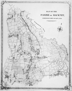
The globe Map of the island of Martinique, 1599 Map of India to New Guinea, c. 1570-1603 Map of Eastern North America: Florida to Chesapeake Bay East Africa and the Red Sea with Prester John and the Legendary Kings of Africa, detail from a map of the Mediterranean Sea by Vesconte de Maggiolo, 1563 Renaissance map of Europe, Jacopo Russo (after), 1528 Ms Lat 463 f.111v-112r Map of Phoenicia, Mesopotamia and Babylon ‘Civitas Londinum’, map of London, 1560 Holy Roman Emperor, Detail from a Renaissance Map of Europe, Jacopo Russo Map of Fort Rosalie des Natchez, Louisiana Map of the Battle of Trafalgar, published by William Blackwood and Sons, Edinburgh and London, 1848 Map of the Parish of Hackney, surveyed by John Rocque (c.1709-1762) 1745 Double Hemisphere World Map, 1587 Cartouche of Quebec from “Carte de l Septentrionalium terrarum descriptio, map of the Arctic, 1595
View More from "Cartography"

A selection of our top sellers

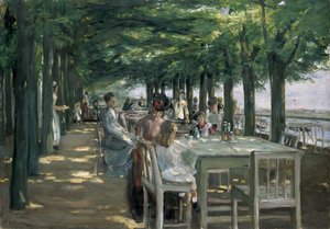
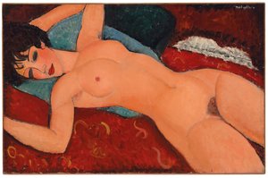
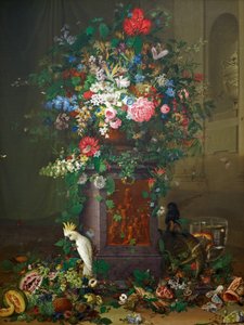
The Terrace at the Restaurant Jacob in Nienstedten on the Elbe Olive Trees with Yellow Sky and Sun Supper at Emmaus Dancer, 1913 Reclining Nude, 1917-18 Homage to Jacquin (“Jacquin Cat in a Rainbow Actaeon surprises the goddess Artemis (Diana) bathing with her companions Head of a skeleton with a burning cigarette Garden in Giverny The Fall of the Damned into Hell The Artist Wheatfield The Dolphin Fresco in the Queen The Magpie
Show more artworks


What our customers think about us


Frequently Asked Questions about Meisterdrucke


Personalizing your art print at Meisterdrucke is simple and intuitive: Choose a frame, set the image size, pick a printing medium, and add suitable glazing or a stretcher frame. We also offer additional customization options like mats, fillets, and spacers. If you have any questions, our customer service team is ready to help you create your perfect artwork.

At Meisterdrucke, you can visualize your configured artwork directly in your own room. Simply upload a photo of your space and see how the artwork looks in it. If you're visiting us on a mobile device — phone or tablet — our augmented reality feature brings the picture to life and projects it right into your room. A unique experience that combines art and technology.

Choosing the right medium is often a matter of personal taste. To give you a better idea, we've provided some images for each medium. We also offer a sample set of all paper variants, so you can decide not just visually but by touch as well. You can order the sample set free of charge — only shipping costs apply.

Don't worry! At Meisterdrucke, we don't just process orders mechanically. Every order is manually reviewed by our team. If we spot any inconsistencies or issues with your configuration, we'll get in touch with you right away. And of course, our friendly and patient support team is always here to help you with your configuration. We'll work with you by phone or email to adjust your image so the final result is exactly what you had in mind.


Still have questions?

Are you interested in an art print from our manufactory but still unsure? Do you need advice on choosing the medium or help with the order?

Our experts are happy to assist you.

+43 4257 29415
support@meisterdrucke.com

Mo-Do: 7:00 - 16:00 | Fr: 7:00 - 13:00

Still have questions?

Are you interested in an art print from our manufactory but still unsure? Do you need advice on choosing the medium or help with the order?

Our experts are happy to assist you.

+43 4257 29415
support@meisterdrucke.com
Mo-Do: 7:00 - 16:00 | Fr: 7:00 - 13:00


Meisterdrucke

   Kärntner Strasse 46
        9586 Finkenstein am Faaker See
        Austria
        +43 4257 29415
        support@meisterdrucke.com
Other languages

                   
Erfahrungen & Bewertungen zu Meisterdrucke
Post.at DHL Express Quehenberger Cargoboard
Kaiser Franz Joseph

Meisterdrucke
Kärntner Strasse 46
9586 Finkenstein am Faaker See · Austria
+43 4257 29415 · support@meisterdrucke.com
Post.at DHL Express Quehenberger Cargoboard


(c) 2026 meisterdrucke.us