support@meisterdrucke.com  ·  0043 4257 29415

Deutsch English Italiano Español Français Nederlands Português Svenska Polski Dansk
Search by artist, work title or style – e.g. Monet, Starry Night, Impressionism, Hokusai wave, nude. Describe the scene – e.g. green meadow, abstract with lots of red, dark oil painting, standing nude next to a tree.

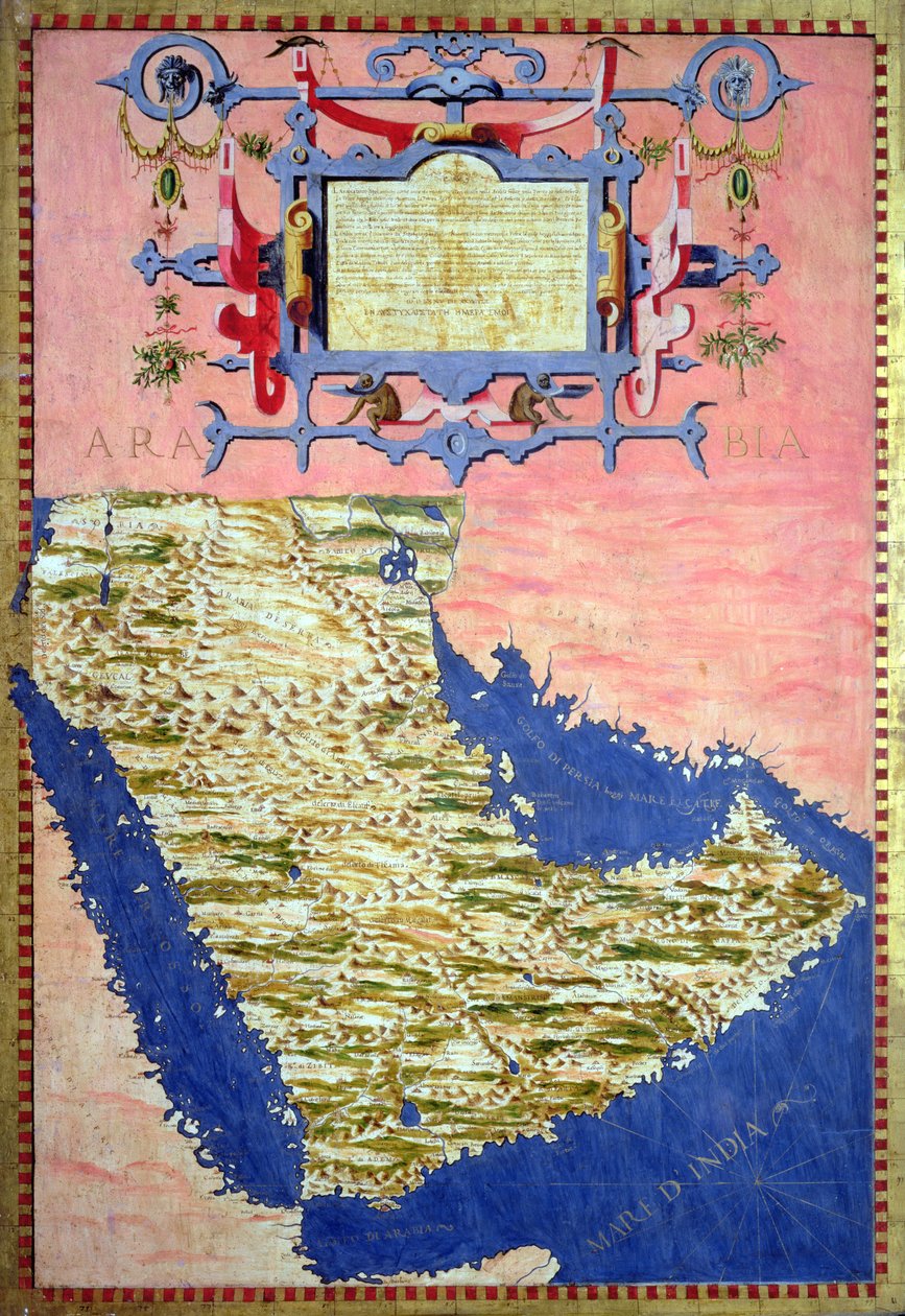
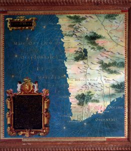
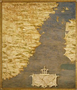
Map of Sixteenth Century Arabia, from the 'Sala delle Carte Geografiche' (Hall of Geographical Maps), 1575 by Stefano Bonsignori

Map of Sixteenth Century Arabia, from the 'Sala delle Carte Geografiche' (Hall of Geographical Maps), 1575

(Map of Sixteenth Century Arabia, from the 'Sala delle Carte Geografiche' (Hall of Geographical Maps) 1575 )


Stefano Bonsignori

€ 134.56
Tax-free
   Configure art print
1575  ·  oil on wood  ·  Image ID: 282232

Nonclassified artists  ·  Cartography

Map of Sixteenth Century Arabia, from the 'Sala delle Carte Geografiche' (Hall of Geographical Maps), 1575 by Stefano Bonsignori. Available as an art print on canvas, photo paper, watercolor board, natural paper, or Japanese paper.
cartouche · cartography · indian ocean · red sea · Palazzo Vecchio (Palazzo della Signoria) Florence, Italy / Bridgeman Images
Other color versions of this image  
AR/3D   View in 3D / AR zu Favoriten hinzufügen   Add to favorites    Change wall color    View picture in a room
0 Reviews

Configure art print

Picture Frame

Medium & Stretcher

Glass & Passepartout

Miscellaneous & Extras

 Save / compare configuration
Preview Icon

Summary

Gemälde
Veredelung
Keilrahmen
Museumslizenz

€ 134.56
(inkl. 20% MwSt)
   Add to cart

Bildschärfe: PERFEKT

If you'd like us to adjust the brightness, colors, or crop the image, we're happy to do this for you at no extra cost. Just get in touch!

Similar artworks selected for you

Fol. 47v Map of Peru, from Middle East: Georgia, Armenia, Iraq, Western Iran Middle East - Georgia, Armenia, Azerbaijan, Iraq, Western Iran Indian subcontinent and island of Sri Lanka Map of Armenia made by Egnazio Danti (1536-1586), mathematician, cosmographer and Italian architect. Around 1567. Florence, Palazzo Vecchio, Sala del Mappamondo Fol. 40v, Map of the Magellan Straits, from Map of India made by Egnazio Danti (1536-1586), Italian mathematician, cosmographer and architect. Around 1567. Florence, Palazzo Vecchio, Sala del Mappamondo Shore of China and Japan Chile and Argentina with the Strait of Magellan Tierra de Persia, scale: circa 1:13 500 000, showing additional places South India and Sri Lanka., c.1550-60 Fol. 41v, Map of Australia, from Map of Peru made by Egnazio Danti (1536-1586), mathematician, cosmographer and Italian architect. Around 1567. Florence, Palazzo Vecchio, Sala del Mappamondo F.52v Map of Florida and the Antilles, from Fol. 31v Map of Australia and Magellan Island from “Cosmographie Universelle”, 1555 Map of the Arabian Peninsula, with wind rose and details of ports and sea coasts, in Atlas de Joan Martines Map of the Caribbean Islands South Africa and Cape of Good Esperance Map Made by Stefano Bonsignori Sogdiana, a territory covering part of Uzbekistan, Tajikistan and Afghanistan. Map made by Egnazio Danti (1536-1586), mathematician, cosmographer and Italian architect. Around 1567. Florence, Palazzo Vecchio, Sala del Mappamondo Fol. 34v, Map of Australia, from Charts 2v and 3r of the Mediceo Atlas (Gaddi 9) Fol.56v Map of Florida, Canada and Labrador, from Map of the Indian Peninsula Scale: [ca. 1:14 500 000]. Additional Places: Persian Gulf, Gulf of Oman., c.1550-60 Map of Anatolia made by Egnazio Danti (1536-1586), an Italian mathematician, cosmographer and architect. Around 1567. Florence, Palazzo Vecchio, Sala del Mappamondo. Russia Moscovia Map of Armenia Frontier of the West Indies and Unknown Lands. Map made by Egnazio Danti (1536-1586), Italian mathematician, cosmographer and architect. Around 1567. Florence, Palazzo Vecchio, Sala del Mappamondo
Show more similar artworks

More art prints by Stefano Bonsignori

Map of Florence, 1584 Map of the Sixteenth-Century British Isles, from the Italy France Central and Northern Europe: Belgium, the Netherlands, Denmark, Germany, Poland, Switzerland, Austria and Hungary Western Africa including Senegal, Guinea, Mali, Sierra Leone, Liberia, Côte d’Ivoire, Burkina Faso... Map of Sixteenth Century Greece, from the “Sala delle Carte Geografiche” (Hall of Geographical Maps), 1575 Horn of Africa - Ethiopia and Somalia (Africa) Central Northern Europe - Belgium, the Netherlands, Denmark, Germany, Poland, Switzerland, Austria and... Map of Sixteenth-Century France, from the Map of the Bay of Bengal, the China Sea and Java Karelia and Northern Russia Map of Sixteenth Century Turkey, from the Map of Tartary Map of the Cape of Good Hope
Show more works by Stefano Bonsignori

More motifs from the category Cartography

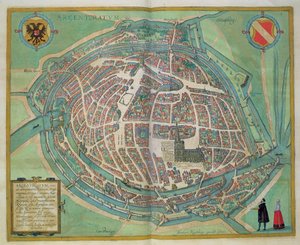
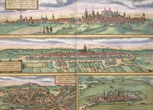
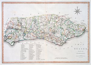
Map of Strasbourg, from “Civitates Orbis Terrarum” by Georg Braun (1541-1622) and Frans Hogenberg (1535-90), c.1572 A Map of Shoreditch and Whitechapel, London, 1746 Map of the Battle of Laon, published by William Blackwood and Sons, Edinburgh and London, 1848 Map of Africa, from Atlas Minor, published in Augsburg, first half of eighteenth century Map of Nuremberg, Ulm, and Salzburg, from Map of Sussex, 26th March 1805 Map of Vienna (detail) Map of Europe after the Peace of Lunéville, 1801, from Map of Armenia A Map of the Island of Juan Fernandez, printed in ’Providence Displayed: or The Remarkable Adventures of Alexander Selkirk of Largo, Scotland’ by Isaac James, published 1800 Map of Heilsberg, published by William Blackwood and Sons, Edinburgh and London, 1848 Map of Genoa and Florence, from A relief map of the Fortress of Canea, Crete in 1608 A Map of the Route Hannibal took through Gaul and over the Alps into Italy Map of Battersea & Chelsea, 1748
View More from "Cartography"

A selection of our top sellers

Boreas, 1903 The Quarrel of Oberon and Titania Midsummer Eve The Cactus Lover Lucifer The Great Wave off Kanagawa, c. 1830 Four Foxes The Goldfinch, 1654 Winter Landscape with Ice Skaters, circa 1608 The Dragon among Clouds, 1849 Figures in a Storm The Great Wave off Kanagawa Woman at Dawn The Magic Circle Moonrise over the Sea
Show more artworks


What our customers think about us


Frequently Asked Questions about Meisterdrucke


Personalizing your art print at Meisterdrucke is simple and intuitive: Choose a frame, set the image size, pick a printing medium, and add suitable glazing or a stretcher frame. We also offer additional customization options like mats, fillets, and spacers. If you have any questions, our customer service team is ready to help you create your perfect artwork.

At Meisterdrucke, you can visualize your configured artwork directly in your own room. Simply upload a photo of your space and see how the artwork looks in it. If you're visiting us on a mobile device — phone or tablet — our augmented reality feature brings the picture to life and projects it right into your room. A unique experience that combines art and technology.

Choosing the right medium is often a matter of personal taste. To give you a better idea, we've provided some images for each medium. We also offer a sample set of all paper variants, so you can decide not just visually but by touch as well. You can order the sample set free of charge — only shipping costs apply.

Don't worry! At Meisterdrucke, we don't just process orders mechanically. Every order is manually reviewed by our team. If we spot any inconsistencies or issues with your configuration, we'll get in touch with you right away. And of course, our friendly and patient support team is always here to help you with your configuration. We'll work with you by phone or email to adjust your image so the final result is exactly what you had in mind.


Still have questions?

Are you interested in an art print from our manufactory but still unsure? Do you need advice on choosing the medium or help with the order?

Our experts are happy to assist you.

+43 4257 29415
support@meisterdrucke.com

Mo-Do: 7:00 - 16:00 | Fr: 7:00 - 13:00

Still have questions?

Are you interested in an art print from our manufactory but still unsure? Do you need advice on choosing the medium or help with the order?

Our experts are happy to assist you.

+43 4257 29415
support@meisterdrucke.com
Mo-Do: 7:00 - 16:00 | Fr: 7:00 - 13:00


Meisterdrucke

   Kärntner Strasse 46
        9586 Finkenstein am Faaker See
        Austria
        +43 4257 29415
        support@meisterdrucke.com
Other languages

                   
Erfahrungen & Bewertungen zu Meisterdrucke
Post.at DHL Express Quehenberger Cargoboard
Kaiser Franz Joseph

Meisterdrucke
Kärntner Strasse 46
9586 Finkenstein am Faaker See · Austria
+43 4257 29415 · support@meisterdrucke.com
Post.at DHL Express Quehenberger Cargoboard


(c) 2026 meisterdrucke.us