support@meisterdrucke.com  ·  0043 4257 29415

Deutsch English Italiano Español Français Nederlands Português Svenska Polski Dansk
Search by artist, work title or style – e.g. Monet, Starry Night, Impressionism, Hokusai wave, nude. Describe the scene – e.g. green meadow, abstract with lots of red, dark oil painting, standing nude next to a tree.

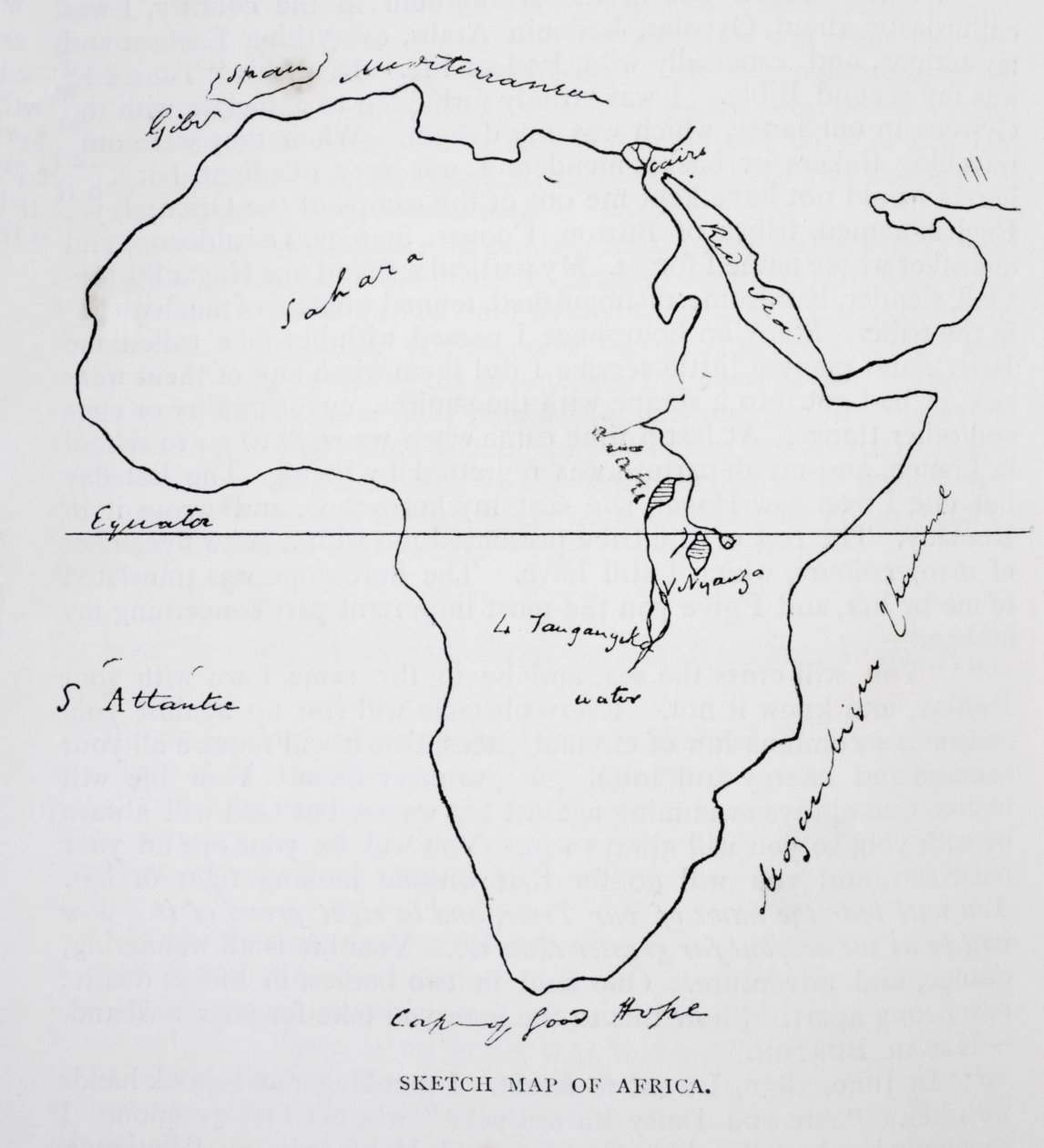
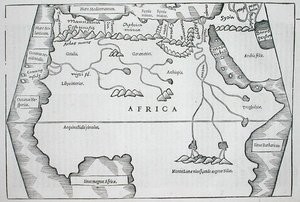
Sketch map of Africa, from 'The Life of Captain Sir Richard Burton, Volume II' by Isabel Burton (1831-96), published in 1893 by Richard Francis Burton

Sketch map of Africa, from 'The Life of Captain Sir Richard Burton, Volume II' by Isabel Burton (1831-96), published in 1893

(Sketch map of Africa, from 'The Life of Captain Sir Richard Burton, Volume II' by Isabel Burton (1831-96) published in 1893 )


Richard Francis Burton

€ 112.28
Tax-free
   Configure art print
1893  ·  lithograph  ·  Image ID: 41932

Nonclassified artists  ·  Cartography

Sketch map of Africa, from 'The Life of Captain Sir Richard Burton, Volume II' by Isabel Burton (1831-96), published in 1893 by Richard Francis Burton. Available as an art print on canvas, photo paper, watercolor board, natural paper, or Japanese paper.
sahara · drawing · cape of good hope · equator · geography · exploration · Private Collection / Bridgeman Images
AR/3D   View in 3D / AR zu Favoriten hinzufügen   Add to favorites    Change wall color    View picture in a room
0 Reviews

Configure art print

Picture Frame

Medium & Stretcher

Glass & Passepartout

Miscellaneous & Extras

 Save / compare configuration
Preview Icon

Summary

Gemälde
Veredelung
Keilrahmen
Museumslizenz

€ 112.28
(inkl. 20% MwSt)
   Add to cart

Bildschärfe: PERFEKT

If you'd like us to adjust the brightness, colors, or crop the image, we're happy to do this for you at no extra cost. Just get in touch!

Similar artworks selected for you

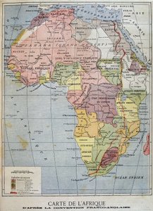
Map of Africa, engraved by Thomas Stirling Map of Africa Illustration from the book Atlas of All Parts of the Earth by unknown author and published by Chr. Steen & Søn (Copenhagen, 1857) Map of Colonial Africa, from a School Book Africa Map of the World, According to Ptolemy, 1923. The Wells Missionary Map Co., 3612 Prairie Avenue, Chicago Map of Africa after the signing of the Anglo-French Agreement of March 1899 (colour litho) Illustration for Le Petit Journal, 9 April 1899 (engraving) A Map of Africa to Illustrate the Travels of David Livingstone (1813-73), Henry Morton Stanley (1841-1904) and Verney Lovett Cameron (1844-94) Sketch Map of Australia Showing the Position of Mr. Stuart Map of Africa, engraved by Guillaume Delahaye Magnetic Map of the Earth Map of Africa showing Treaty Boundaries, 1891 Vellum chart of Africa, India and the Mediterranean Map - British Antarctic Expedition 1910-13. Track Chart of Main Southern Journey Havelock Map Showing the Partition of Africa 1513 Map of North Africa Africa Political Africa, from Anthropoidea - V. Map distribution of Families Hapalidae Red, and Cebidae Blue Winds and Rainfall - May to October Africa from Formation of the Lines of Battle of Austerlitz, 1884 Political Map of Africa, 1914, 1920 Map including Massachusetts Bay Africa Map of Africa according to the Franco-English Convention - in Winds and Rainfall - November to April, 1923
Show more similar artworks

More motifs from the category Cartography

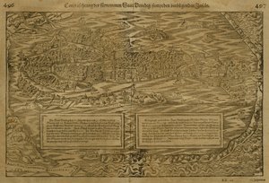
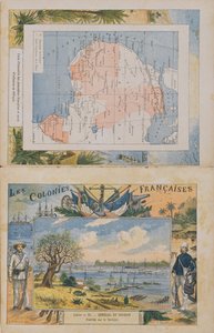
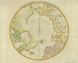
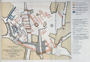
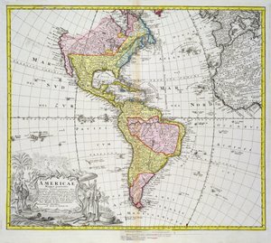
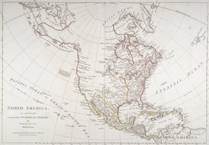
Map of Venice, by Sebastian Münster (1488-1552), published in Basel, c. 1560 Map of French possessions and spheres of influence in Africa and a view of the Senegal River, cover of a school exercise book, late 19th century Map of Map of the Old and New Worlds, c. 1500 Map of the world, based on descriptions and coordinates given in Fan with Maple Design Map of Africa, published in 1700, Paris A Map of the Countries Thirty Degrees round the North Pole, from Map of the Acropolis of the 2nd city at Troy, 1884 Map of the Siege of Mantua, published by William Blackwood and Sons, Edinburgh and London, 1848 Map of the Americas, published by Homann, 1746 Map depicting North America as divided by the European powers, 1774 Map of England, Britannia Antiqua, from “The Atlas of Ancient Geography” by Samuel Butler, published in London, c. 1829 BT1.47.9 The Dedication to Queen Elizabeth I from a Book of Maps of England and Wales by Christopher Saxton, published 1579 Map of Spain and Portugal, from “Geographia”
View More from "Cartography"

A selection of our top sellers

The Tree of Crows The Pink Peach Tree, 1888 Beef: diagram depicting the different cuts of meat Flying Kites Wanderer above the Sea of Fog, c. 1817 Rapallo, View of Portofino. c. 1906 Nocturnal Berlin (Nollendorfplatz) Madonna and Child with Two Angels View from a Window, 1988 Indian Roller on Sandalwood Branch, folio from a Series Commissioned by Lady Impey, 1779 View of the Naruto whirlpools at Awa, from the series The Course of Empire. Desolation The Artist The Artist He wept over it
Show more artworks


What our customers think about us


Frequently Asked Questions about Meisterdrucke


Personalizing your art print at Meisterdrucke is simple and intuitive: Choose a frame, set the image size, pick a printing medium, and add suitable glazing or a stretcher frame. We also offer additional customization options like mats, fillets, and spacers. If you have any questions, our customer service team is ready to help you create your perfect artwork.

At Meisterdrucke, you can visualize your configured artwork directly in your own room. Simply upload a photo of your space and see how the artwork looks in it. If you're visiting us on a mobile device — phone or tablet — our augmented reality feature brings the picture to life and projects it right into your room. A unique experience that combines art and technology.

Choosing the right medium is often a matter of personal taste. To give you a better idea, we've provided some images for each medium. We also offer a sample set of all paper variants, so you can decide not just visually but by touch as well. You can order the sample set free of charge — only shipping costs apply.

Don't worry! At Meisterdrucke, we don't just process orders mechanically. Every order is manually reviewed by our team. If we spot any inconsistencies or issues with your configuration, we'll get in touch with you right away. And of course, our friendly and patient support team is always here to help you with your configuration. We'll work with you by phone or email to adjust your image so the final result is exactly what you had in mind.


Still have questions?

Are you interested in an art print from our manufactory but still unsure? Do you need advice on choosing the medium or help with the order?

Our experts are happy to assist you.

+43 4257 29415
support@meisterdrucke.com

Mo-Do: 7:00 - 16:00 | Fr: 7:00 - 13:00

Still have questions?

Are you interested in an art print from our manufactory but still unsure? Do you need advice on choosing the medium or help with the order?

Our experts are happy to assist you.

+43 4257 29415
support@meisterdrucke.com
Mo-Do: 7:00 - 16:00 | Fr: 7:00 - 13:00


Meisterdrucke

   Kärntner Strasse 46
        9586 Finkenstein am Faaker See
        Austria
        +43 4257 29415
        support@meisterdrucke.com
Other languages

                   
Erfahrungen & Bewertungen zu Meisterdrucke
Post.at DHL Express Quehenberger Cargoboard
Kaiser Franz Joseph

Meisterdrucke
Kärntner Strasse 46
9586 Finkenstein am Faaker See · Austria
+43 4257 29415 · support@meisterdrucke.com
Post.at DHL Express Quehenberger Cargoboard


(c) 2026 meisterdrucke.us