support@meisterdrucke.com  ·  0043 4257 29415

Deutsch English Italiano Español Français Nederlands Português Svenska Polski Dansk
Search by artist, work title or style – e.g. Monet, Starry Night, Impressionism, Hokusai wave, nude. Describe the scene – e.g. green meadow, abstract with lots of red, dark oil painting, standing nude next to a tree.

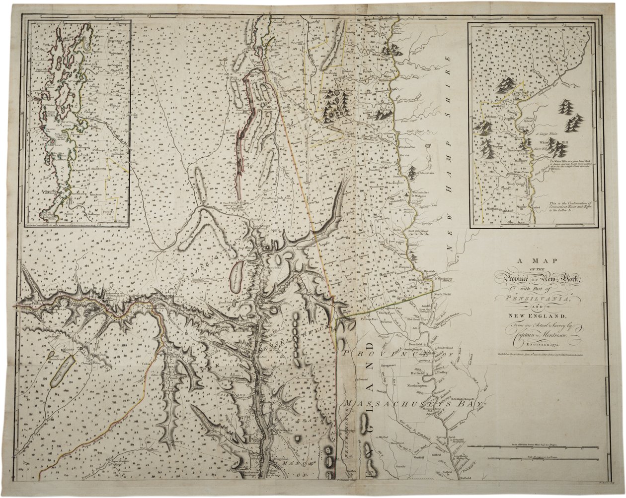
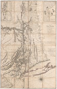
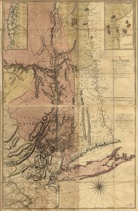
A Map of the Province of New York with Part of Pennsylvania and New England, from an Actual Survey by Captain Montrésor, Engineer, 1775, 10 June 1775 by John Montresor

A Map of the Province of New York with Part of Pennsylvania and New England, from an Actual Survey by Captain Montrésor, Engineer, 1775, 10 June 1775

(A Map of the Province of New York with part of Pensylvania, and New England, from an actual survey by Captain Montrésor, Engineer, 1775, 10 June 1775 )


John Montresor

€ 121.68
Tax-free
   Configure art print
1775  ·  lithograph  ·  Image ID: 317817

Nonclassified artists  ·  Cartography

A Map of the Province of New York with Part of Pennsylvania and New England, from an Actual Survey by Captain Montrésor, Engineer, 1775, 10 June 1775 by John Montresor. Available as an art print on canvas, photo paper, watercolor board, natural paper, or Japanese paper.
connecticut river · lake champlain · united states of america · mapping · cartography · maps · c18th · c19th · survey · Massachusetts Bay · The War for Independence · American Revolution · Gilder Lehrman Collection, New York, USA / Bridgeman Images
AR/3D   View in 3D / AR zu Favoriten hinzufügen   Add to favorites    Change wall color    View picture in a room
0 Reviews

Configure art print

Picture Frame

Medium & Stretcher

Glass & Passepartout

Miscellaneous & Extras

 Save / compare configuration
Preview Icon

Summary

Gemälde
Veredelung
Keilrahmen
Museumslizenz

€ 121.68
(inkl. 20% MwSt)
   Add to cart

Bildschärfe: PERFEKT

If you'd like us to adjust the brightness, colors, or crop the image, we're happy to do this for you at no extra cost. Just get in touch!

Similar artworks selected for you

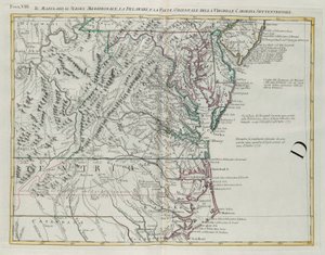
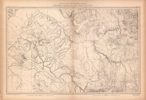
A Map of the Province of New York by Captain Montresor Nova Scotia, c.1760 A Trader Land of the Cherokees with the western part of North Carolina and Virginia, engraving by G. Zuliani taken from Tome I of the Map of the United States, 1816 Map of the greater part of New Mexico, and a portion of Upper California A Map of the Most Inhabited Part of Virginia by Fry and Jefferson A Map of New York A Map of the Province of New York, with Part of Pennsylvania, and New England A Map of Kentucky, in The Discovery, Settlement and present State of Kentucke Map of the Cutch region of India and its border with neighbouring Baluchistan, by Carl Zimmerman, 1851 A Chart of the Harbour of Rhode Island and Narraganset Bay Map of the United States, 1816 A Map of the Inhabited part of Virginia by Fry and Jefferson A Map of Cadiz Civil War Map of General Sherman Map of the Parish or Borough of Leeds A Map of the British and French Dominions in America Map of Kentucke, Engraved by Henry D. Pursell, Printed by T. Rook, Philadelphia, 1784 Fossa Eugeniana Begun in 1627 Under the Command of Count Hendrik van den Bergh Lister and Mandal Counties in the Kingdom of Norway with the Help of Geographical Maps A plan of Fort Montgomery & Fort Clinton, 1774-1779 Geographical Map of Ejdangerske Company in Tellemarkske Infantry 1507 Ptolemaic Map of France Maryland, Southern New Jersey, Delaware and the Eastern Part of Virginia and North Carolina, Engraving by G. Zuliani from Tome I of the "Newest Atlas" Geological and Geographical Atlas of Colorado and Portions of Adjacent Territory Map of Jemtland (1831) A Map of the British and French Dominions in America Map of Sydney and surrounding areas, Australia, c. 1798
Show more similar artworks

More art prints by John Montresor

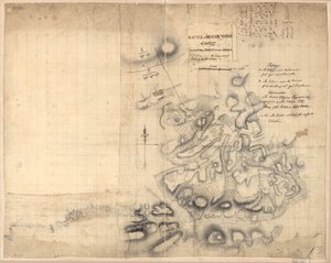
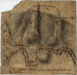
A Map of the Province of New York with Part of Pennsylvania and New England, from an Actual Survey by Captain Montrésor, Engineer, 1775, 10 June 1775 Map of Lower New York State and surrounding areas, c.1775 Plan of the Disposition of British Troops, with Fortifications North of Fort Knipehausen to Fort Independence Map of the Ohio River from Fort Pitt Battle of Brandywine, 11th September 1777 Battle of Brandywine, 11 September 1777 A Sketch of the Battle of Germantown, 4th October 1777, where the Rebels were Repulsed A Plan of the City of New York and Its Environs to Greenwich on the North (Hudson) River to Crown Point on the East River, Surveyed 1766, 1775 A Map of the Province of New York by Captain Montresor Gov. Tryon Map of Boston and Charlestown Early Survey of the City of New York and Its Environs to Greenwich, 1766 Copy of a Sketch of the Monongahela, with the Field of Battle A Map of New York
Show more works by John Montresor

More motifs from the category Cartography

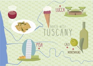
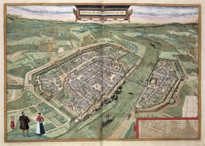
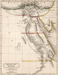
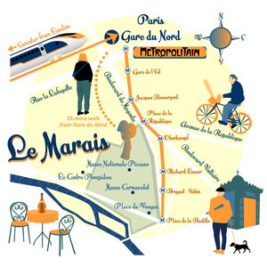
Map of Lucca and Pisa, Tuscany, Italy Ptolemaic Map of Italy, 1482 View of Quebec, cartouche of a map depicting St. Lawrence River from Sorel, 1699 Map of Frankfurt, from Map showing Tycho Brahe World Map detailing the Expeditions and Global Circumnavigation of Sir Francis Drake (c. 1540-96), 1577-1580 Map representing the approximate tonnage of wines and spirits in circulation in France in 1857 by water and by railway, 1860 Map of South America, published in 1700, Paris Map of Aegyptus Antiqua (Ancient Egypt), drawn and engraved by Sydney Hall, c. 1826 Map of Illinois Central Railroad Company’s depot grounds and buildings in Chicago, 1855 Map of Zeeland, c. 1560 Map of Le Marais, Paris Map of the Christian Constellations as Depicted by Julius Schiller, from The Celestial Atlas, or The Harmony of the Universe, Atlas coelestis seu harmonia macrocosmica, published by Joannes Janssonius, Amsterdam A Map of St. James Map No. 5 Showing the route of the Armada fleet, engraved by Augustine Ryther, 1588
View More from "Cartography"

A selection of our top sellers

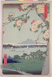
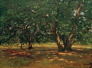
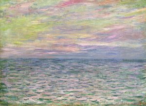
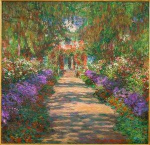
The Kiss, 1907-08, detail of 601 The Lake, Petworth, Sunset; Sample Study The Monk by the Sea, 1808-1810 Isle of the Dead. Fifth version. 1886 Death and Life, c. 1911 Alley to the Capponcina Suigin Grove and Masaki, on the Sumida River, from Forest of Fontainebleau On the High Seas, Sunset at Pourville, 1882 Napoleon Crossing the Alps Standing Woman in Red Garden in Giverny Adele Bloch-Bauer King of the Forest, 1878 The Water-Lily Pond
Show more artworks


What our customers think about us


Frequently Asked Questions about Meisterdrucke


Personalizing your art print at Meisterdrucke is simple and intuitive: Choose a frame, set the image size, pick a printing medium, and add suitable glazing or a stretcher frame. We also offer additional customization options like mats, fillets, and spacers. If you have any questions, our customer service team is ready to help you create your perfect artwork.

At Meisterdrucke, you can visualize your configured artwork directly in your own room. Simply upload a photo of your space and see how the artwork looks in it. If you're visiting us on a mobile device — phone or tablet — our augmented reality feature brings the picture to life and projects it right into your room. A unique experience that combines art and technology.

Choosing the right medium is often a matter of personal taste. To give you a better idea, we've provided some images for each medium. We also offer a sample set of all paper variants, so you can decide not just visually but by touch as well. You can order the sample set free of charge — only shipping costs apply.

Don't worry! At Meisterdrucke, we don't just process orders mechanically. Every order is manually reviewed by our team. If we spot any inconsistencies or issues with your configuration, we'll get in touch with you right away. And of course, our friendly and patient support team is always here to help you with your configuration. We'll work with you by phone or email to adjust your image so the final result is exactly what you had in mind.


Still have questions?

Are you interested in an art print from our manufactory but still unsure? Do you need advice on choosing the medium or help with the order?

Our experts are happy to assist you.

+43 4257 29415
support@meisterdrucke.com

Mo-Do: 7:00 - 16:00 | Fr: 7:00 - 13:00

Still have questions?

Are you interested in an art print from our manufactory but still unsure? Do you need advice on choosing the medium or help with the order?

Our experts are happy to assist you.

+43 4257 29415
support@meisterdrucke.com
Mo-Do: 7:00 - 16:00 | Fr: 7:00 - 13:00


Meisterdrucke

   Kärntner Strasse 46
        9586 Finkenstein am Faaker See
        Austria
        +43 4257 29415
        support@meisterdrucke.com
Other languages

                   
Erfahrungen & Bewertungen zu Meisterdrucke
Post.at DHL Express Quehenberger Cargoboard
Kaiser Franz Joseph

Meisterdrucke
Kärntner Strasse 46
9586 Finkenstein am Faaker See · Austria
+43 4257 29415 · support@meisterdrucke.com
Post.at DHL Express Quehenberger Cargoboard


(c) 2026 meisterdrucke.us